I hiked the Ullswater Way over 2 days in June 2021 and have put together this guide to help you plan your walk whether you plan to do it in one day or in stages.
This guide includes details of how to get to Ullswater, the highlights you can see on the Ullswater Way and where to find toilets, cafes and accommodation for your trip.
You can read about my experiences of hiking the Ullswater Way over two days here
Table of Contents
About the Ullswater Way
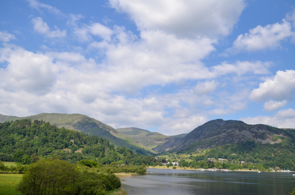
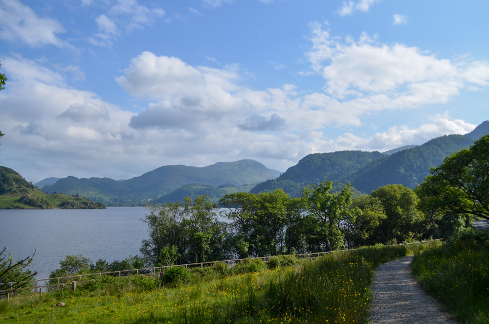
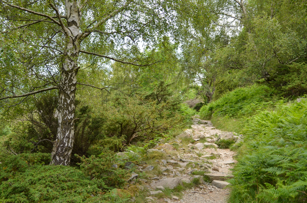
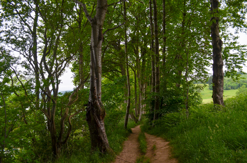
The Ullswater Way is a 20-mile waymarked walking route that circumnavigates the entire shore of Ullswater, the second largest lake in the eastern part of the Lake District National Park.
The route was launched in the wake of the devastating floods of Storm Desmond in 2015 which caused widespread flooding and destroyed the 300-year-old stone bridge in Pooley Bridge at the northern end of the lake.
With the help of volunteers and the national park authority, the walking routes were fully connected to create a singular path attracting visitors back to the area to enjoy the stunning and varied landscape.
You can find a full route map of the walk here
How long does the Ullswater Way take to walk?
If you fancy a challenge and are reasonably fit, the hike can be undertaken in a day of around 8-9 hours.
If you’d like to do it at a more leisurely pace, consider splitting it into two days with an overnight stop in either Pooley Bridge or Glenridding/Patterdale.
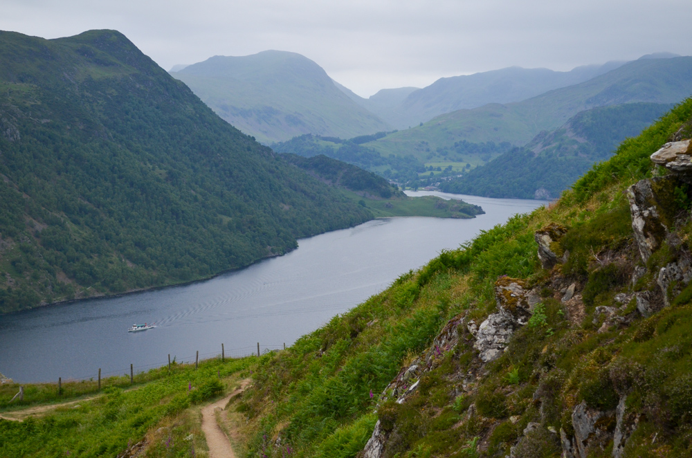
You could also split the hike up over a number of days or weekends and use the Ullswater Steamer boats to take you to the start of your route – these are the 4 recommended stages you could walk:
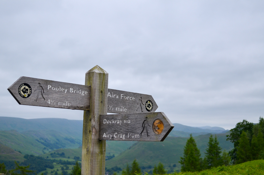
- Pooley Bridge to Aira Force – 7.25 miles (a rising path through a variety of terrain from farmland, woods and a spectacular rocky terrace path with stunning lake views (or an uphill panorama path to the summit of Gowbarrow hill) finishing at Aira Force Waterfall
- Aira Force to Glenridding – 3 miles – (flat lakeside path, perfect for kids and families)
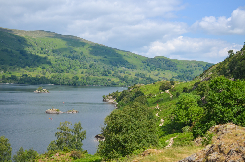
- Glenridding to Howtown – 6.8 miles – (undulating, rocky,rough and woodland path)
- Howtown to Pooley Bridge – two options either
- Upper path – 5 miles – uphill terrace path or
- Lower path – 4 miles – relatively flat lakeshore path
Where does the Ullswater Way start and finish?
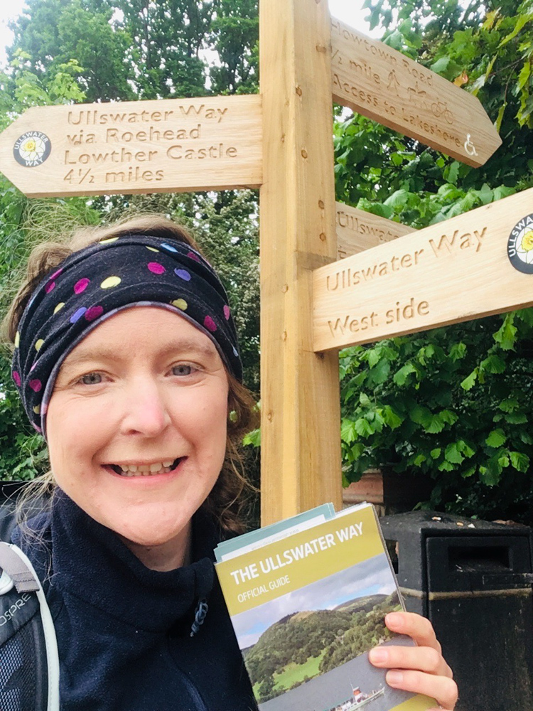
There is no ‘official’ start to the walk as it’s circular but the most popular places to start are either Pooley Bridge (at the north end of the lake) or Glenridding (at the southern end of the lake) – both of which have public car parks which you can find more information and prices about here.
How can you get to Ullswater by public transport?
The easiest way to get to the start of the Ullswater Way is by the 508 Stagecoach bus to Pooley Bridge from the town of Penrith (6 miles, 25/30 minutes) which runs every hour in summer and every two hours in winter.
There is an additional 508 route during the high season (end of March to end of October) that continues from Patterdale to Windermere every two hours.
The route goes over the Kirkstone Pass at 454m and is the highest motorised pass in Cumbria which makes for a dramatic way to start or end your walk.
What are the highlights on the Ullswater Way?
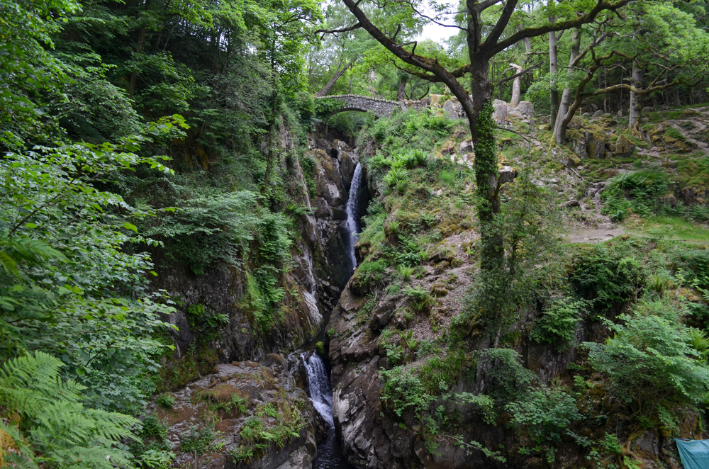
- Aira Force Waterfall – a 20m waterfall set among a forest home to red squirrels
- Gowbarrow Fell (optional) – covered in heather during late summer, a gradual climb to 481m for stunning views over the Ullswater Valley
- Glencoyne Bay which is covered in daffodils in spring (March/April) and was the inspiration behind Wordsworth famous poem ‘I wandered lonely as a cloud’
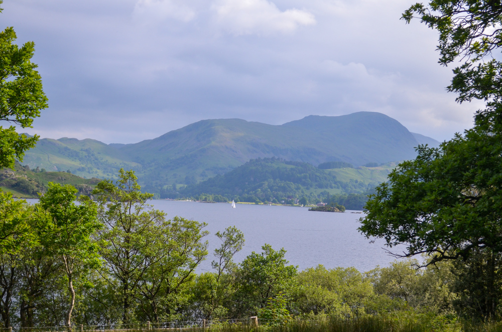
- Panoramic views over to the Helvellyn mountain range
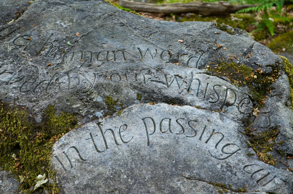
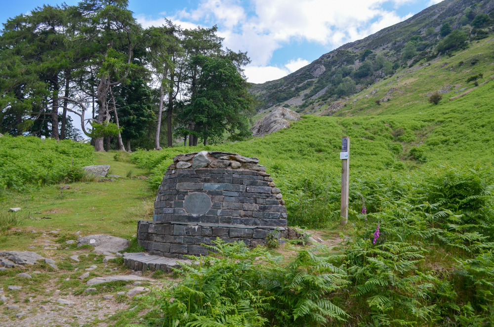
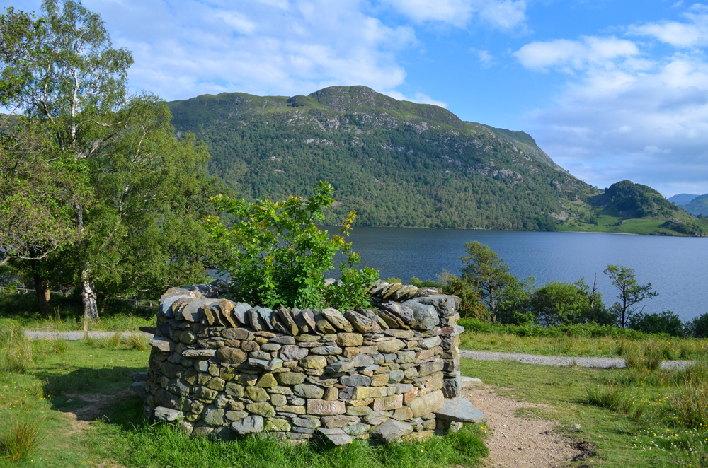
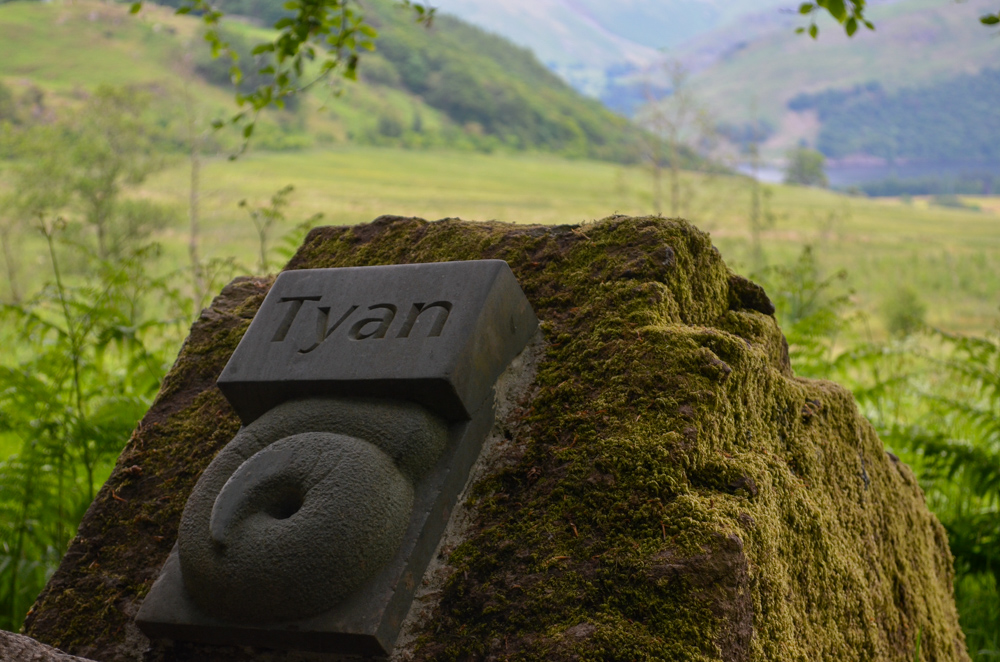
- Heritage Trail – created by local artists, the heritage trail is a series of 12 instalations that celebrate the local heritage, culture and nature of the Ullswater from poetry carved in stone to an old Roman seat. You can find more infomation about the trail here
What additional routes can be added to the walk?
If you would like to extend your walk consider one of the following routes:
Dalemain Loop is a 5-mile circular walk from Pooley Bridge to the villages of Dalemain and Darce and the impressive Dalemain Mansion which has a medieval hall tea room. Sections of the walk are along the banks of the River Eamont.
Lowther Loop a 7.5-mile circular walk from Pooley Bridge over the Askham fells, to the villages of Askham, quiet woodlands, an archaeological site at Moor Divock and a riverside section along the Lowther
How fit do I need to be to hike it? What is the terrain like on the Ullswater Way?
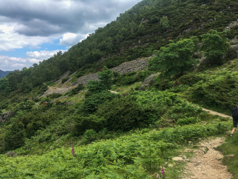
If you plan to do the entire walk in one day, you do need a reasonable level of fitness as there are only a few sections that are completely flat. The majority of the route is uneven surfaces (rocky or tree roots) and has a total elevation gain of around 900m over the entire route.

Do you need to be able to navigate to do the Ullswater Way?
The route is completely waymarked with wooden markers and black badges with a daffodil flower (the symbol of the Ullswater Way). There was only one tiny section in the woods near Howtown where I lost the path, but that was more out of stupidity and tiredness!
I picked up a really useful copy of the Ullswater Way Official Guide (£5) before the hike (available in many of the shops in the Ullswater or online from Inspired by the Lakes) which gave me some really useful context to the walk.
If are a bit of a map geek like me, the walk can be found on the OS OL5 map or you can download the OS map to your phone for around £3 for a months usage.
Pubs and Cafes on the Ullswater Way
I mainly bought my own food to eat on the walk but there are some great options along the route.
Pooley Bridge My top tip – Granny Dowbekins for hearty breakfasts and lunches with river views. Vegan and Gluten-Free options too.
Pooley Bridge also has a number of pubs and a fine dining restaurant, 1863
Daffodil Cafe (seasonal) in Ullswater Way Holiday Park halfway between Pooley Bridge and Aira Force has light lunches, snacks and hot drinks
Aira Force Small National Trust cafe next to the car park with sandwiches and cakes
Glenridding My top tip – Helvellyn Country Kitchen delicious ranges of wraps, paninis, jacket potatoes and burgers with gluten-free options available
Glenridding also has a small range of pubs and additional cafes
Patterdale My top tip – Old Water B&B do a range of sandwiches and have a lovely outdoor riverside bar
The Patterdale Hotel and The White Lion also serve hearty lunches and dinners
Howtown Hotel Tearoom (seasonal only) for light lunches, homemade scones and cakes
Lowther Barn Tea Room around 2 miles before Howtown (seasonal only)
Waterside Campsite shop has cakes and water to refuel just before Pooley Bridge
Supermarkets on the Ullswater Way
There are two small independent supermarkets in Pooley Bridge and Glenridding selling lunch options, basic supplies and local beers
Toilets on the Ullswater Way
You can find public toilets (many of which are 20-30p) at Pooley Bridge, Aira Force and Glenridding
What to wear on the Ullswater Way
I strongly recommend wearing a sturdy pair of shoes or hiking boots for the hike as the terrain is rocky and uneven most of the way.
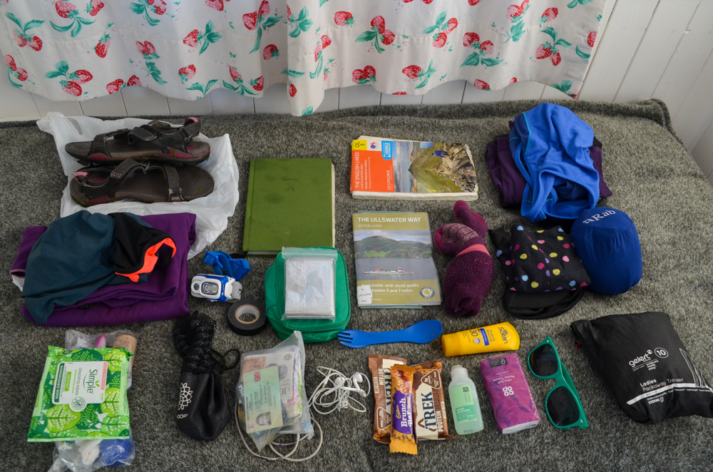
Pack layers and a waterproof – even in summer the weather can be changeable and the higher sections of the route can be cooler than the shoreline ections.
Plus the basics for any day walk – basic first aid kit, map, protection from sun/cold depending on the season
You can read my full kit list for my two-day hike here
Accommodation on the Ullswater Way
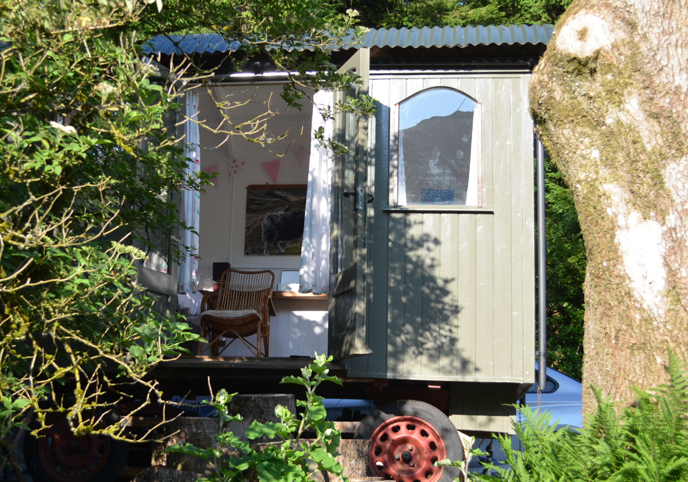
As I started my hike in Pooley Bridge, I stayed in the shepherd’s hut, in the grounds of the Old Water View B&B, which I highly recommend.
You can find a review of my stay in this post.
Below is a list of alternative options I’ve heard good reviews from:
Camping
The Quiet Site – huts and hobbit holes
Parkfoot Ullswater – large campsite near Pooley Bridge
Budget Options
Patterdale YHA
Mid-range
High End
I hope you have found this guide useful and you enjoy your hike – feel free to email or contact me on Instagram if you have any further questions!
More posts from my Ullswater Way hike
My experience of hiking the Ullswater Way over two days
What to pack when hiking the Ullswater Way
My night in a shepherds hut in Patterdale (during the Ullswater Way)
Leave a Reply