Stretched out in the garden on a sunny evening in June, I was craving a big new adventure.
That previous morning, I had woken up in a midge invested patch of bracken in my tiny tent with my friend Amy on the side of Holme Fell near Coniston. We took a bracing, morning dip in the neighbouring tarn before heading back home. It kicked started those adventure endorphins which had felt dormant after multiple lockdowns in the past year.
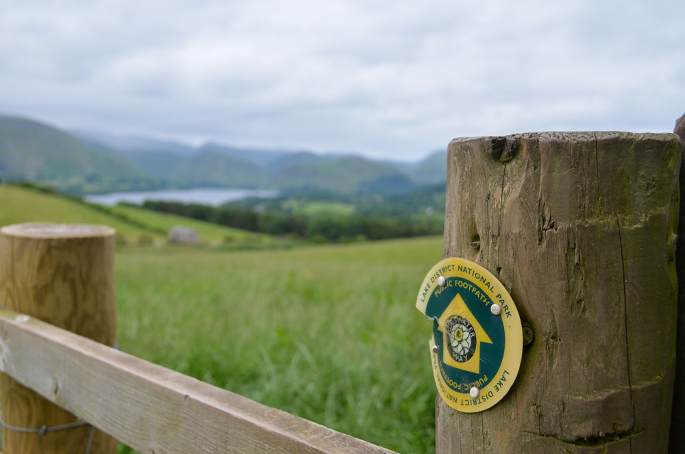
The previous week, I had picked up a copy of the Ullswater Way guide and now found myself doing my usual process of adventure planning: checking the weather, checking bus timetables….and excitingly, for the first time since Covid, checking accommodation prices.
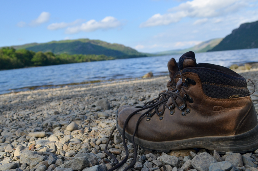
The Ullswater Way is a 20-mile circular walk around the entire length of Ullswater, the second largest lake in the Lake District. Many fit and reasonably fit people do the long-distance walk in one day.
I see myself as a more plodder when it comes to hiking. I love to take my time, making regular stops to take in the view, observe my thoughts and photograph the tiny details. I needed to go slow, at my own pace.
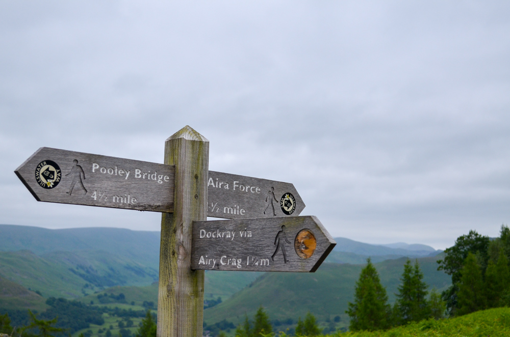
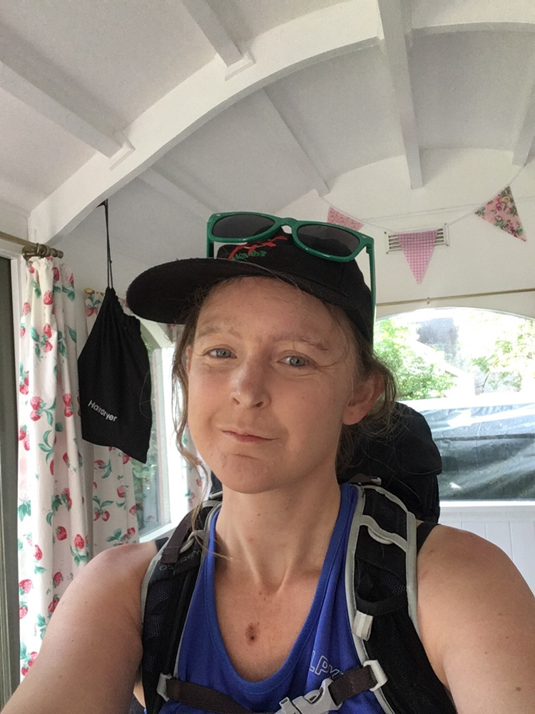
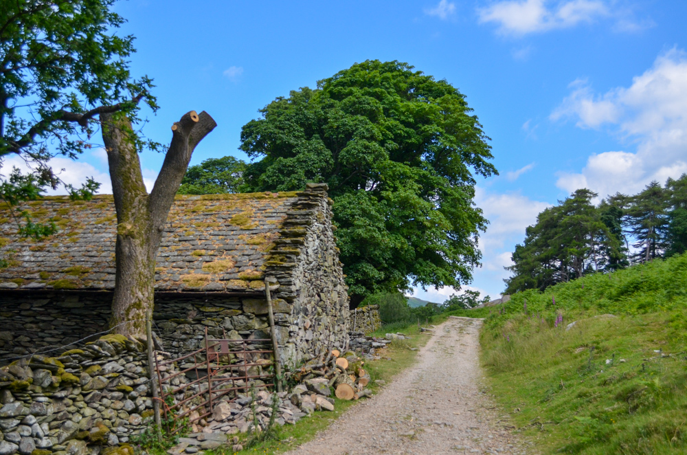
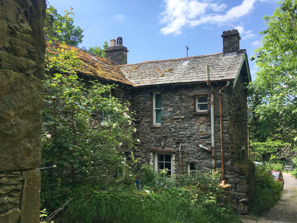
I remembered seeing a tiny shepherds hut in the garden of Old Water View B&B on the edge of Patterdale during my numerous bus trips on the 508 from Windermere. To my delight, the hut had space for the next night. The forecast was fine. The stars were aligned. The adventure was planned. I packed my backpack ready for an early start-up to Pooley Bridge and the excitement of the trail lay ahead.
Day One
Stage One //
Pooley Bridge to Aira Force (7 miles)
I hopped on the 508 from Penrith with that mix of excitement and a few nerves that come from setting out on a solo adventure.
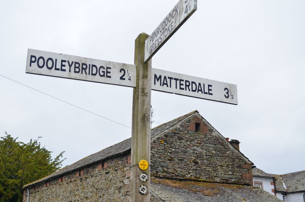
Arriving at Pooley Bridge, I’d decided to hike the western shoreline first, taking in what I thought would be the majority of the ascents on day 1 (how wrong I was haha!).

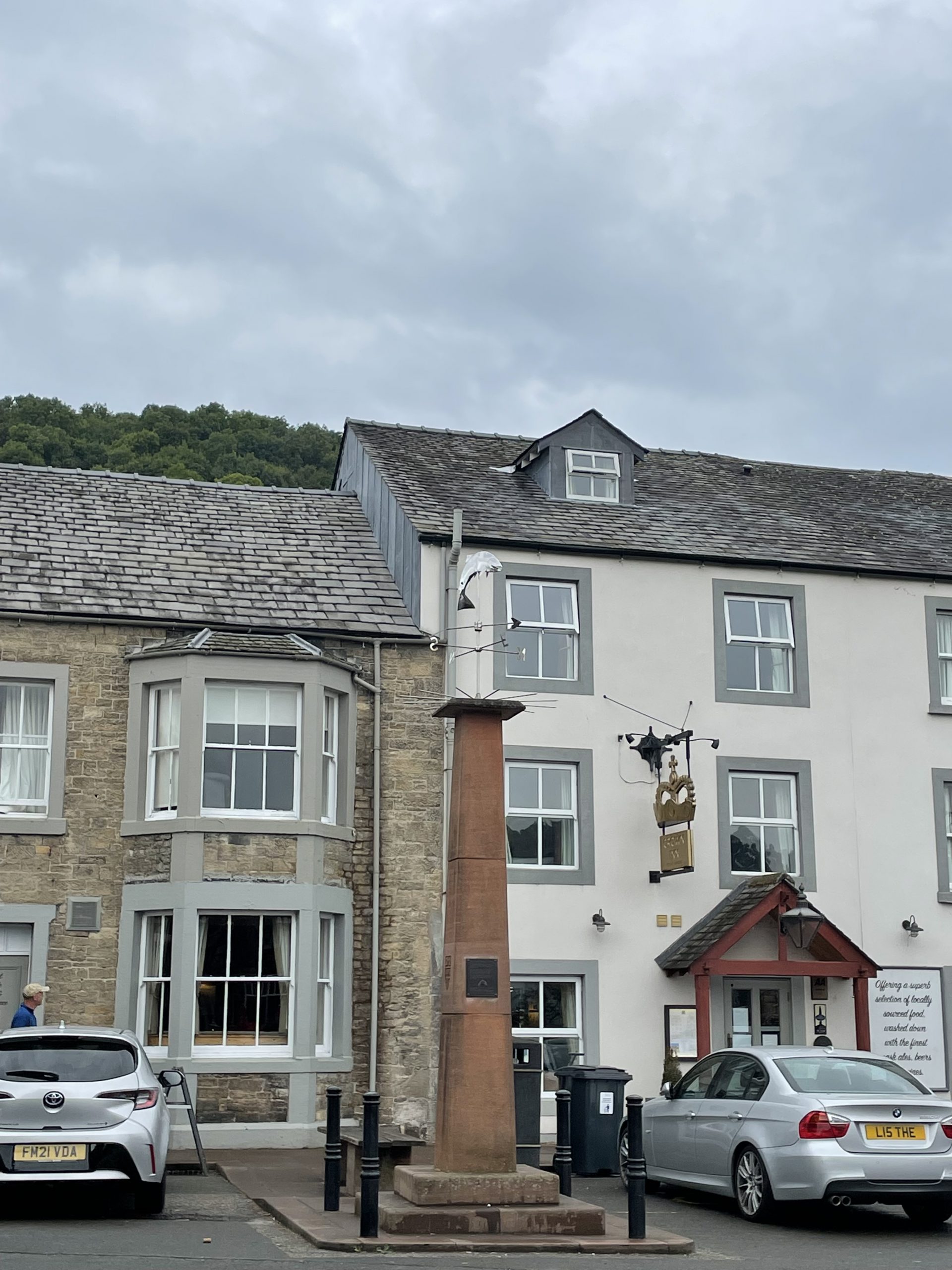
Heading out of the village, I admired the brand new foot and car bridge which opened last year (2020) after the great Storm Desmond in 2015 washed away the previous stone bridge and bought devastating flooding to the area. The Ullswater Way was completed not long after the storm, with the hope of enticing visitors back to the area.
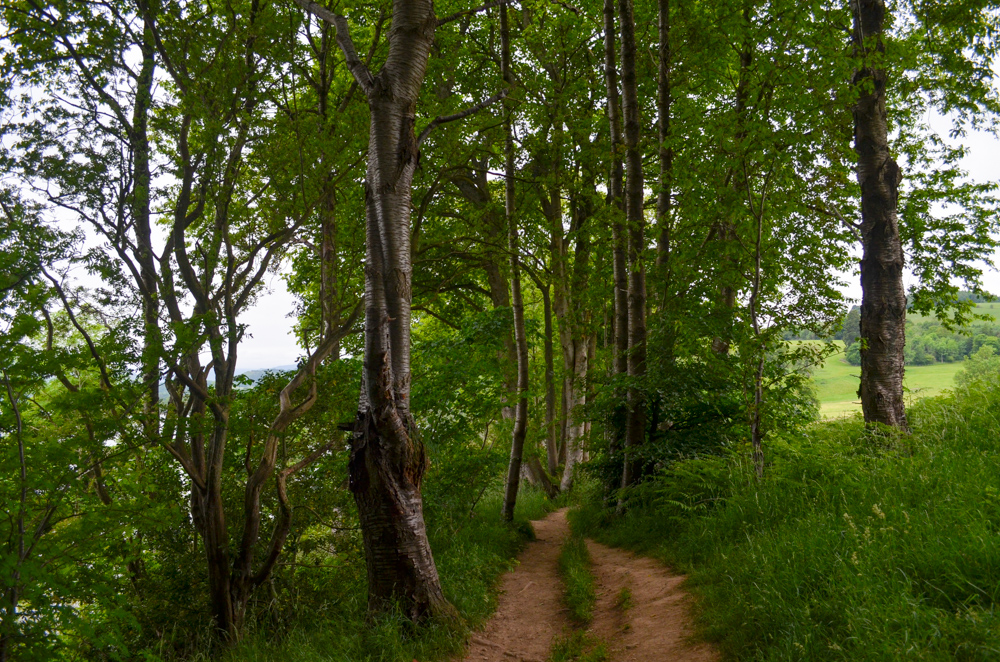
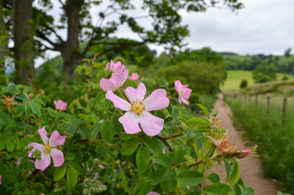
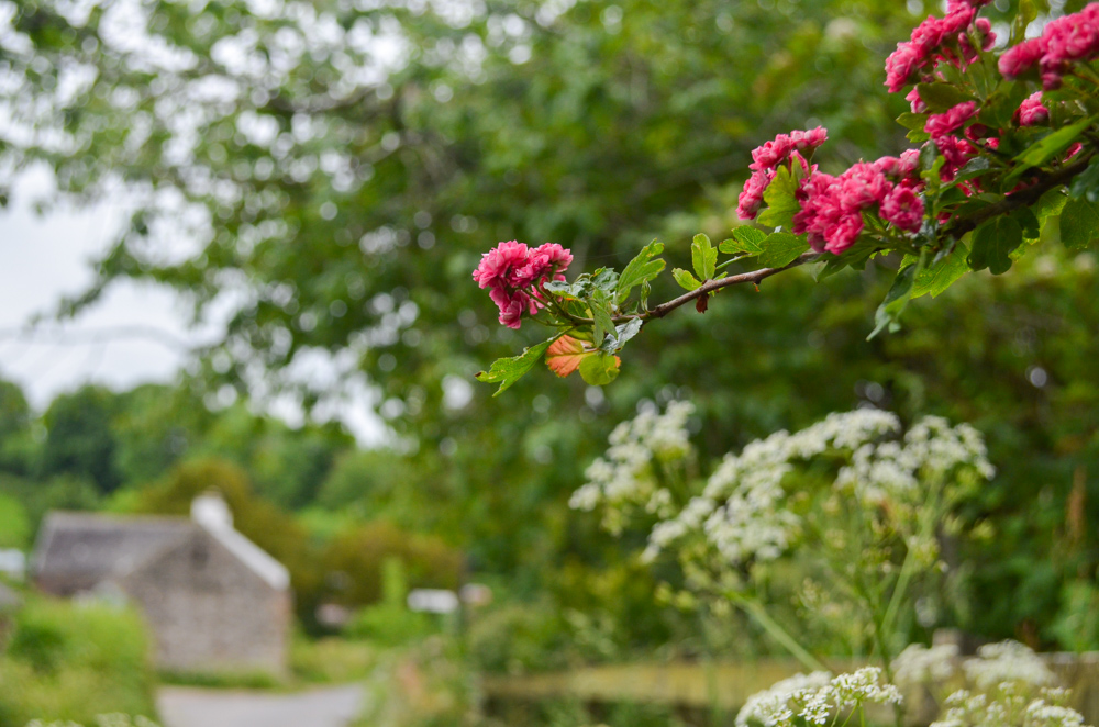
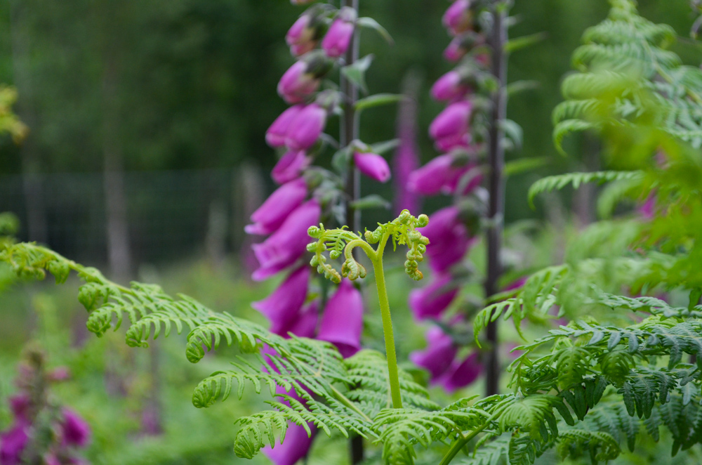
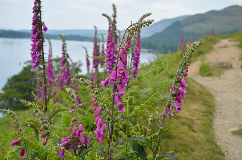
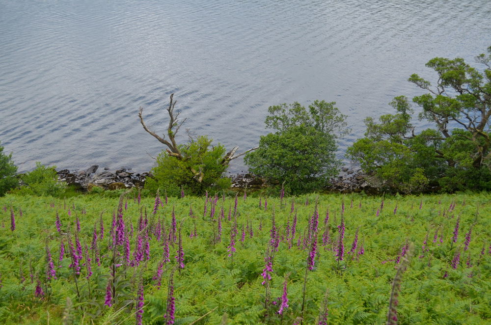
Just before the Ullswater Steamer dock, the path headed into a small woodland at the foot of Dunmallard Hill with a gentle incline. The hedgerows along the path were dotted with leggy purple foxgloves and spiky dog roses. I paused to watch a confused little mole scuttle across the path before taking a fork in the road towards Waterfoot.
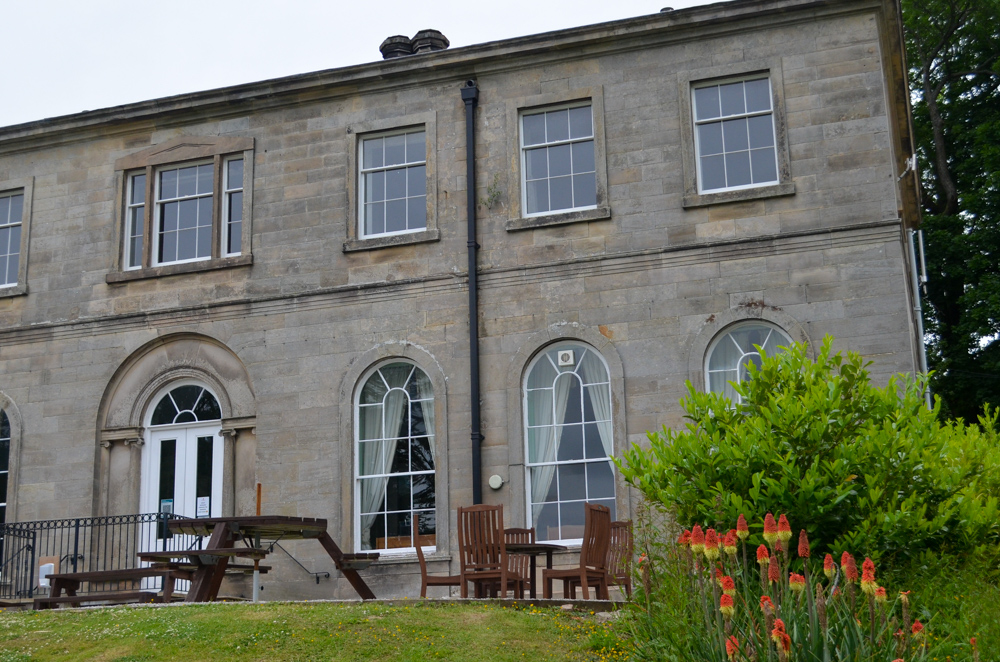
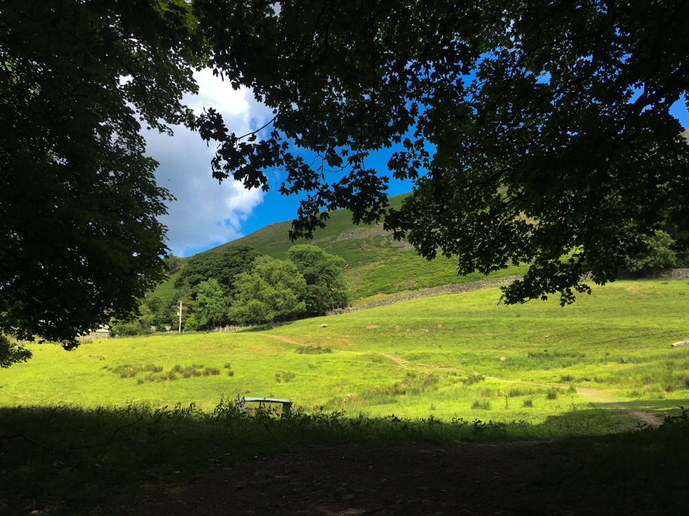
Crossing open pastures, the path led up to a Georgian mansion on the edge of Waterfoot Holiday Park flanked by the distinct red hot poker plants.

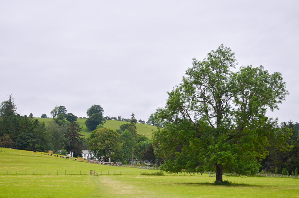
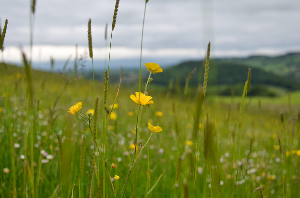
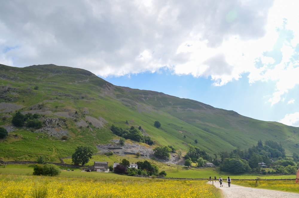
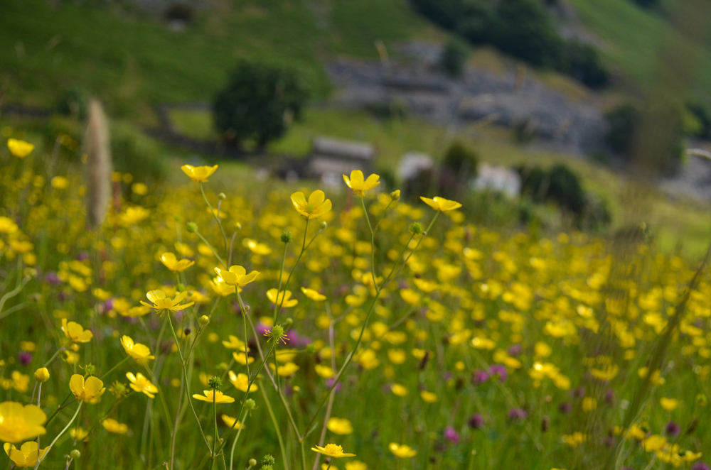
Heading up the drive, I turned left towards Bennethead through rising pastures with curious cows and views over to Cross Fell, the highest point in the neighbouring Pennine Hills. I loved this part, the meadows felt like full summer with sunny buttercups and wildflowers and at the top of the hill you could make out the hill brow of an old Iron Age farmstead before dropping off back down towards a minor B road.

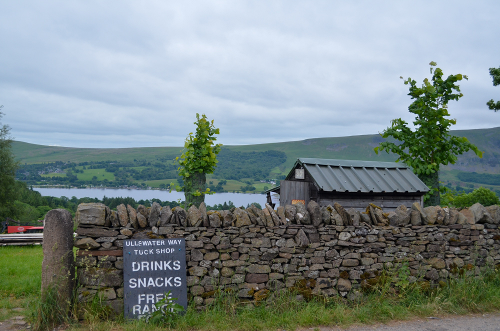
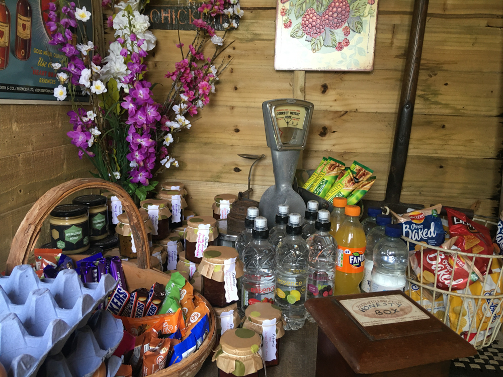
To my delight, I spotted the cutest little honesty shop in a shed on the side of a farm and dove in to pick up chocolate and snacks, tempted by the local honey for sale but also keen not to add extra weight to my backpack.
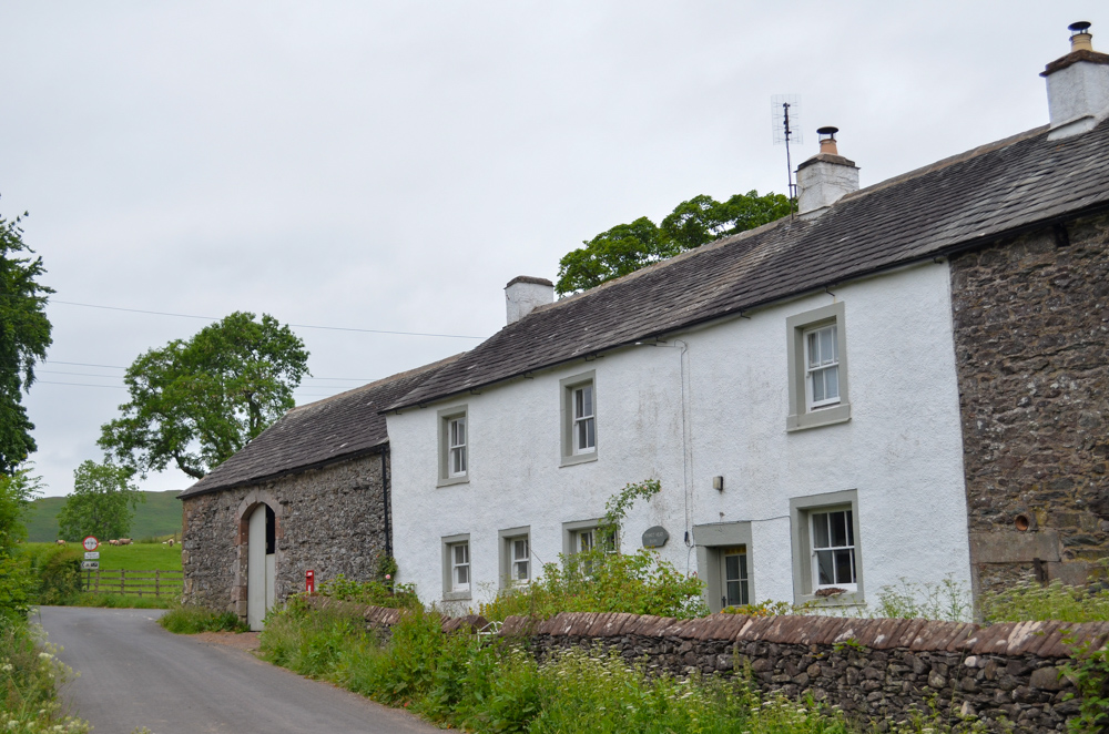
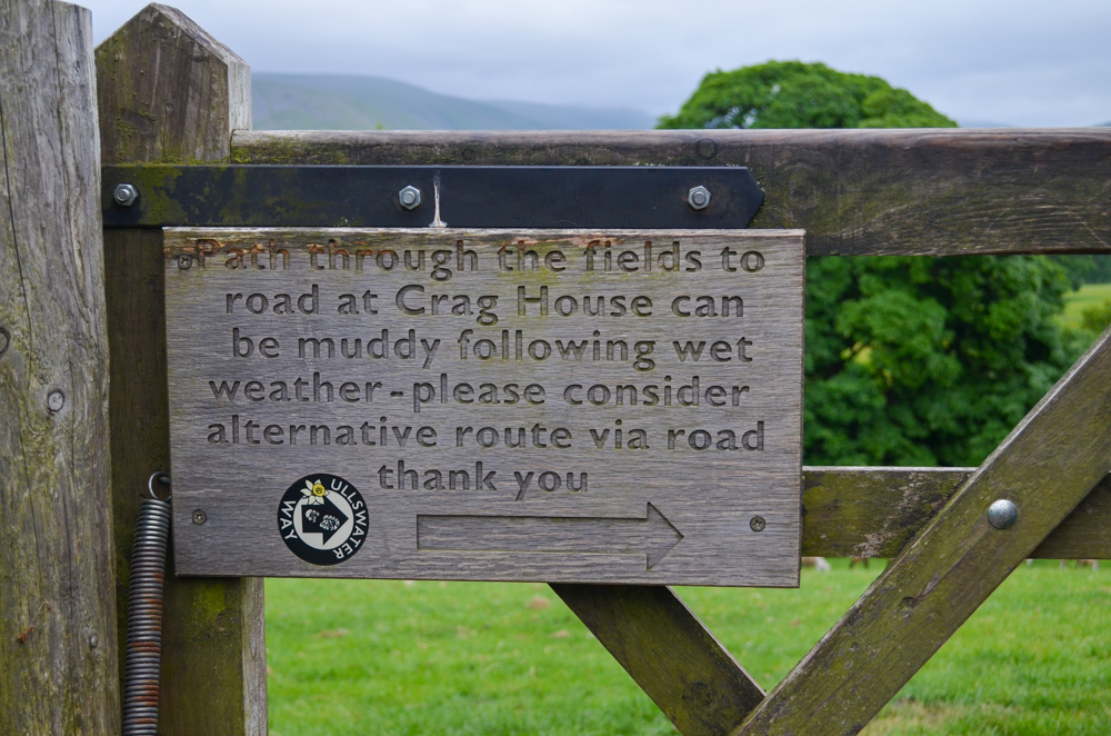
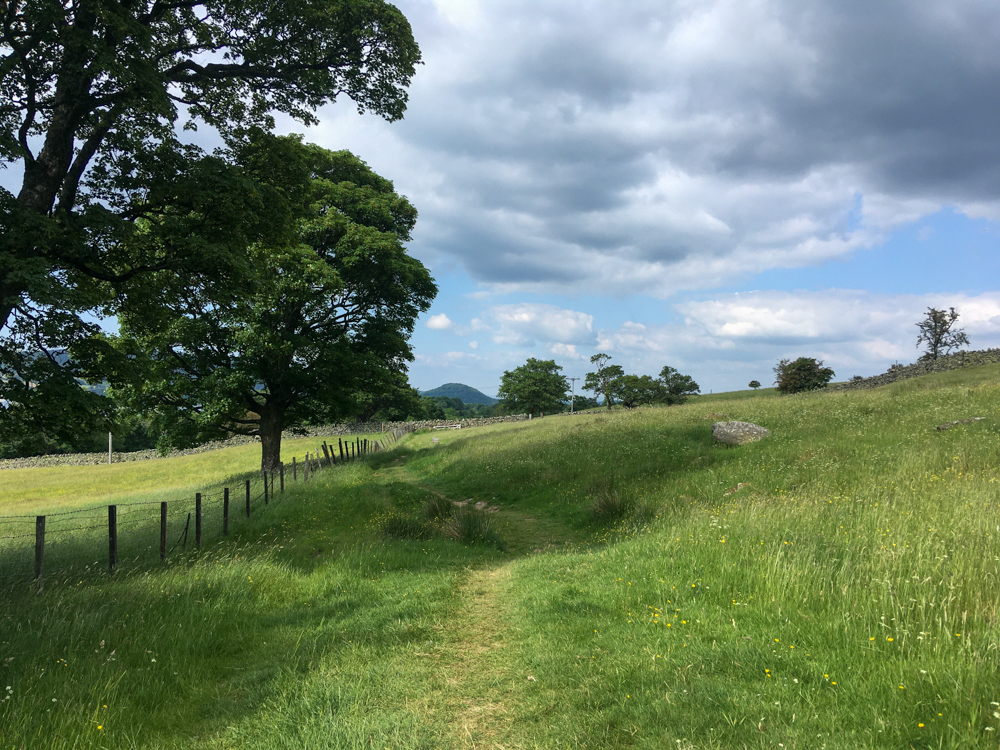
I continued on to the quaint hamlet of Bennethead before hitting a gate that explained two routes depending on recent weather conditions as the following field could get particularly muddy.
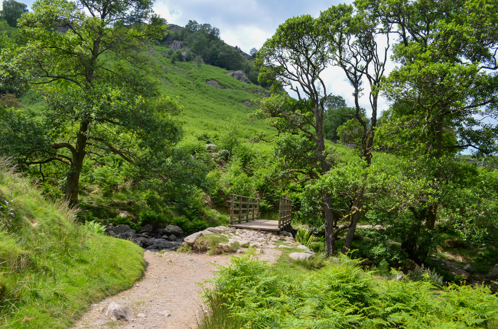
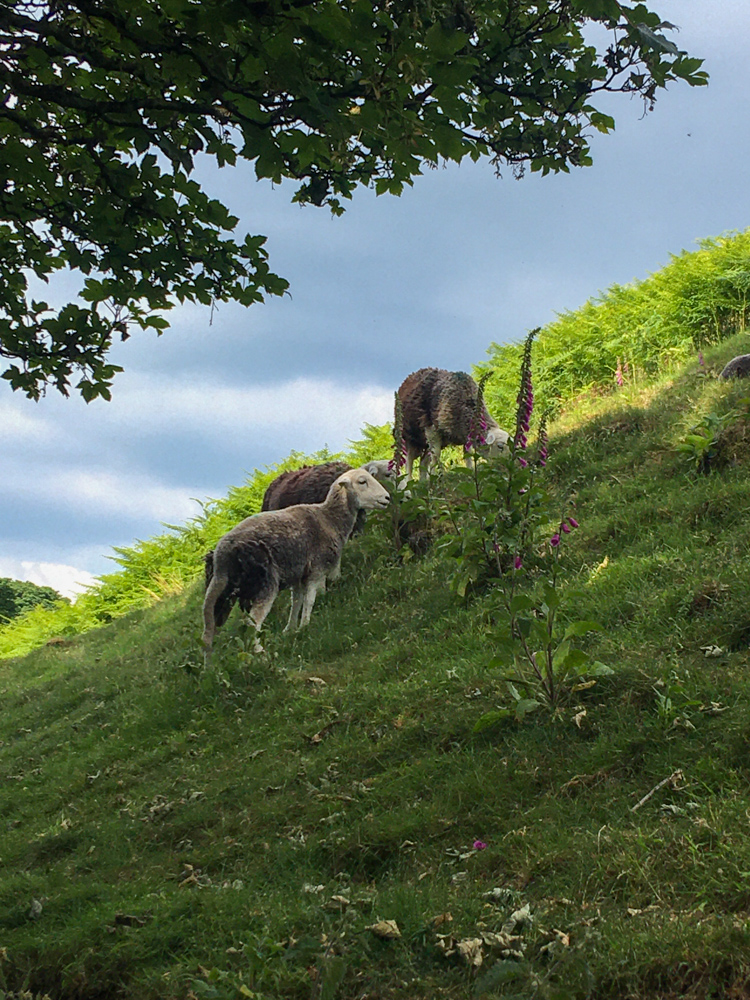
Thankfully, conditions have been kind and I continued on through the fields past nonchalant sheep and a plank bridge before hitting the road again just outside of Watermillock.
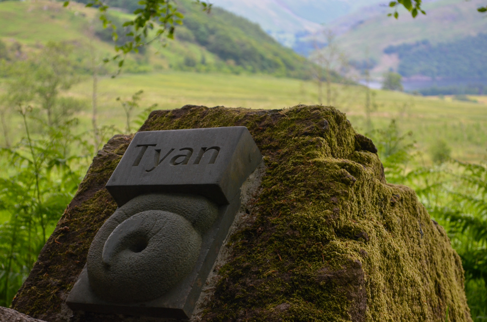
The path continued up a gravel track and I spotted my first art installation of the Heritage Trail which coincides with the Ullswater Way and celebrates different aspects of the valleys cultural heritage.
The Herdwick Stones celebrate the Lake District’s native sheep (the Herdwick) and local shepherding counting traditions are depicted in old Cumbrian – Yan, Tan, Tethra (one, two, three). A QR code on the side of each installation provides further info and is a lovely touch to bring the trail to life.
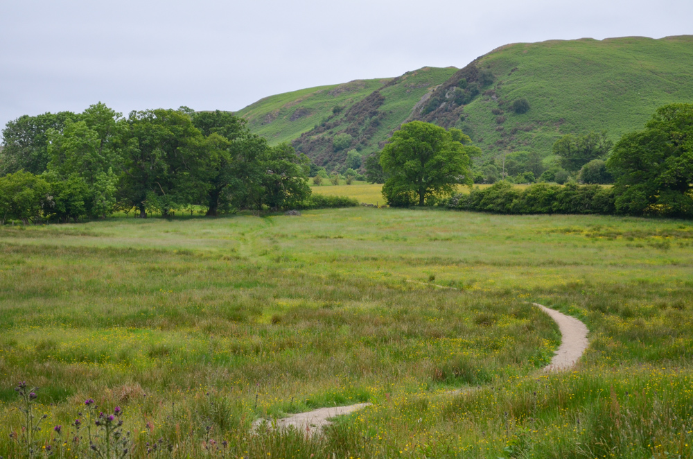
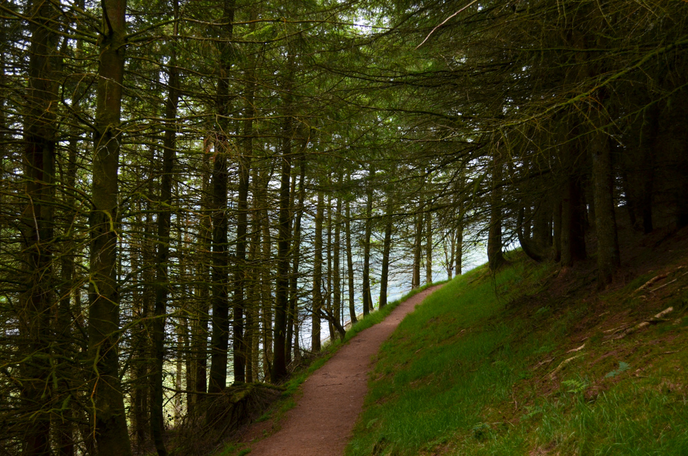
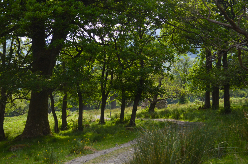
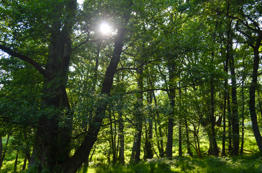
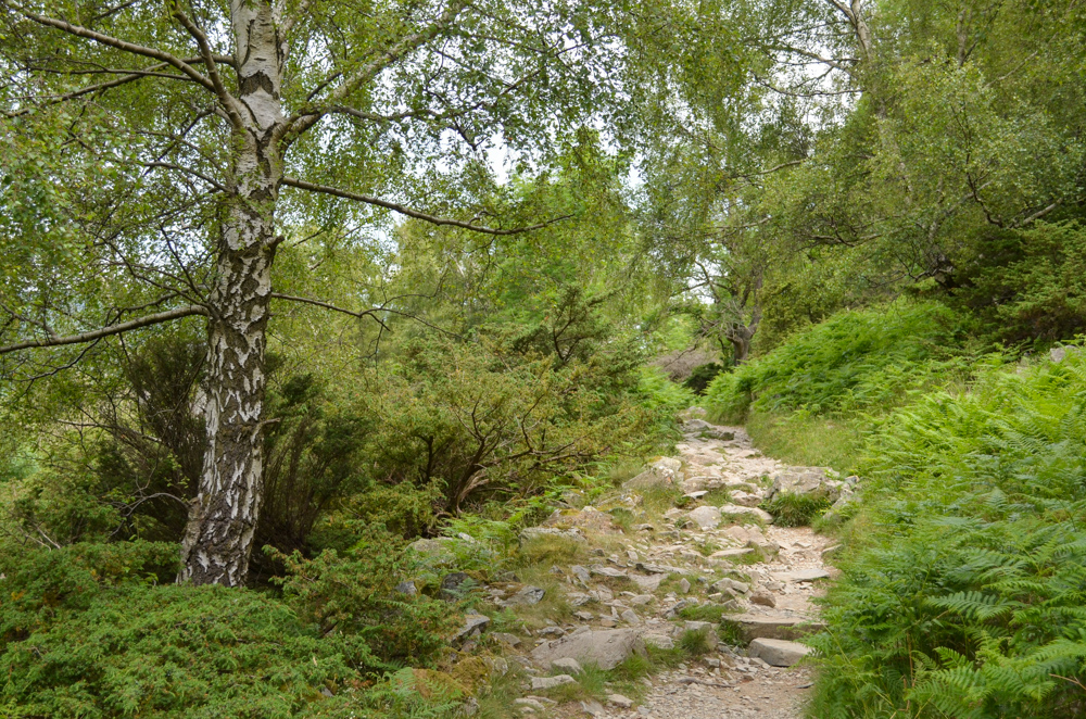
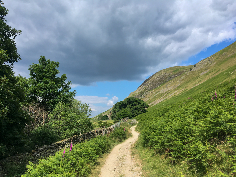
Continuing on, the path now went deep into the wood of Swiburns Park, which I read in my guidebook, used to be a red deer park in medieval times. I enjoyed the change in scenery and the rich woodland scent of pine and damp earth.
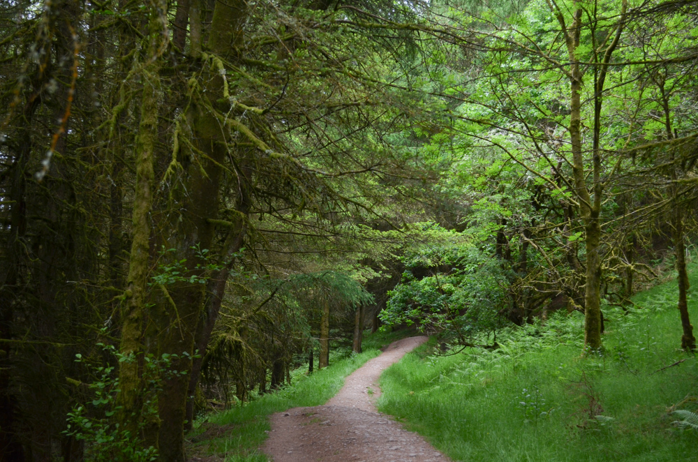

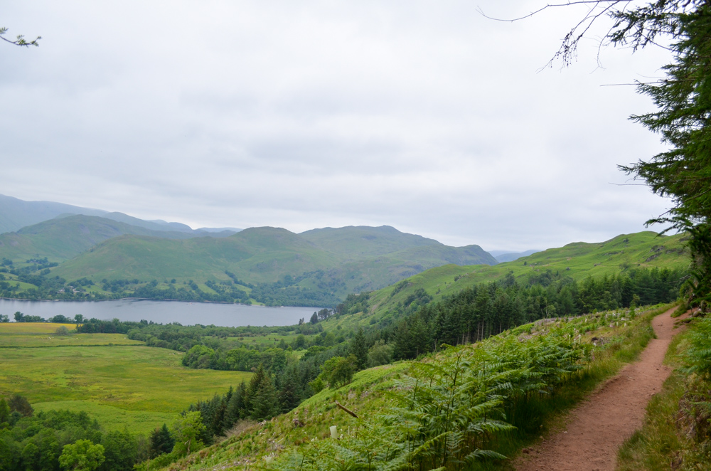

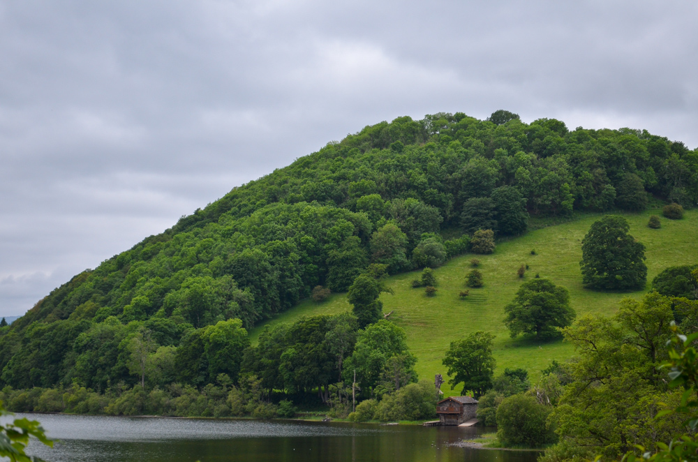
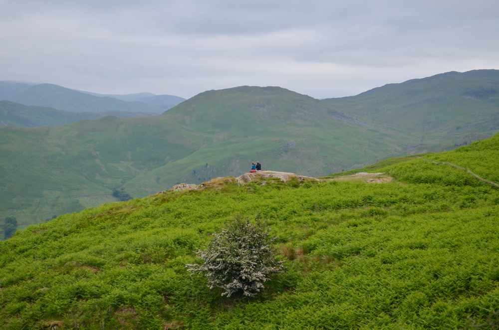
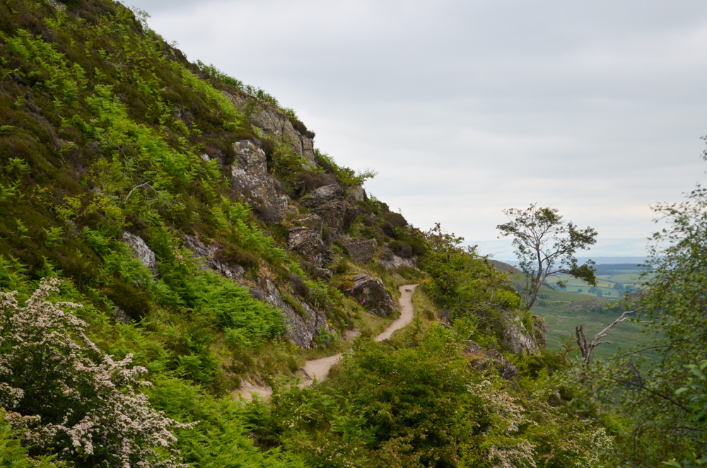
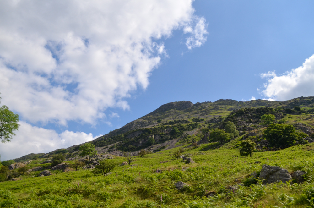
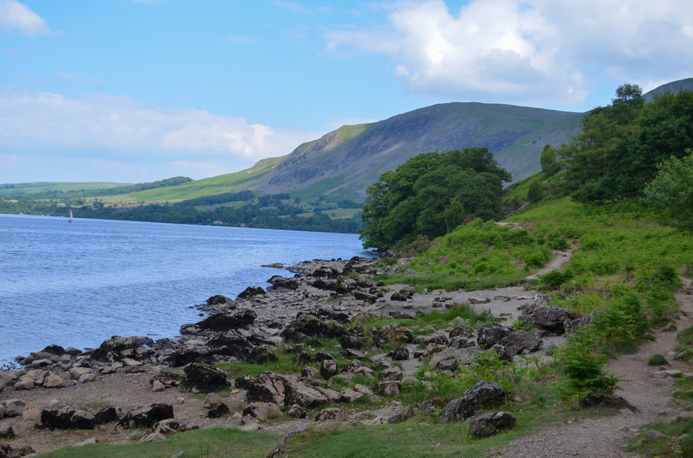
At the end of the woods, the path forked and you could choose to take one of two paths. The panorama path goes over the summit of Gowbarrow Hill or the terrace path which hugs the hillside underneath. I chose the terrace path as I’d previously been to the summit of Gowbarrow and I didn’t fancy the extra climb!
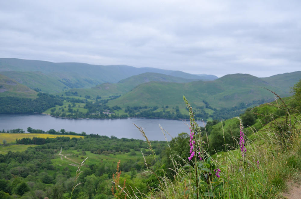
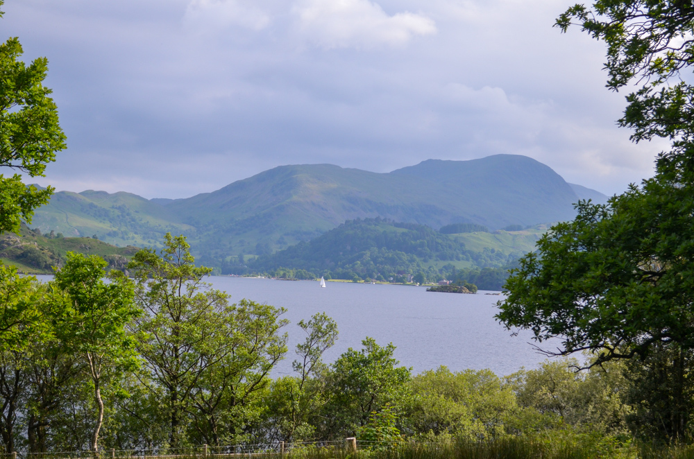
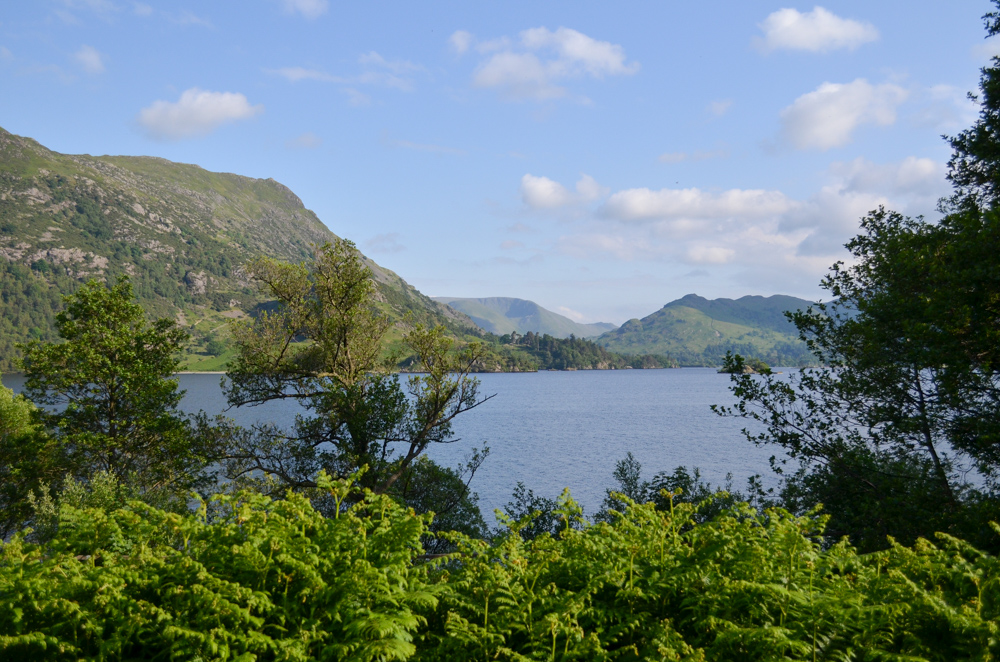
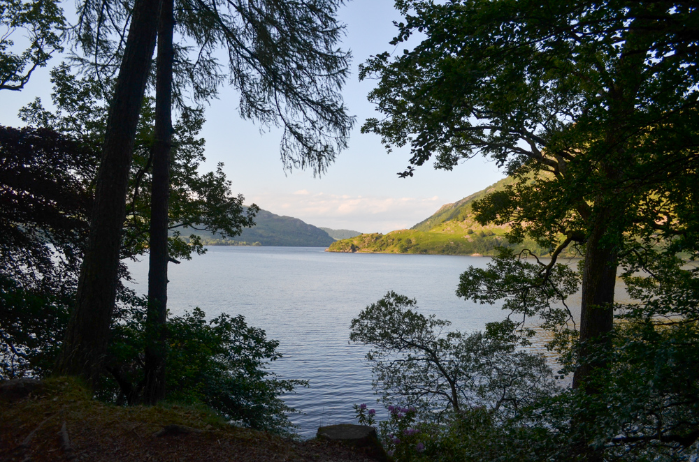
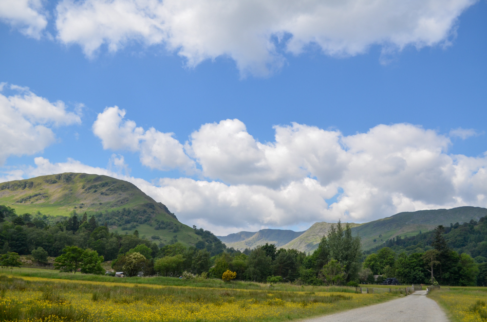
I was gifted the most soaring dramatic views of the lake on this path, with the fells of Hallin and Place across the shore. I felt like I was deep in a rugged Norwegian fjord.
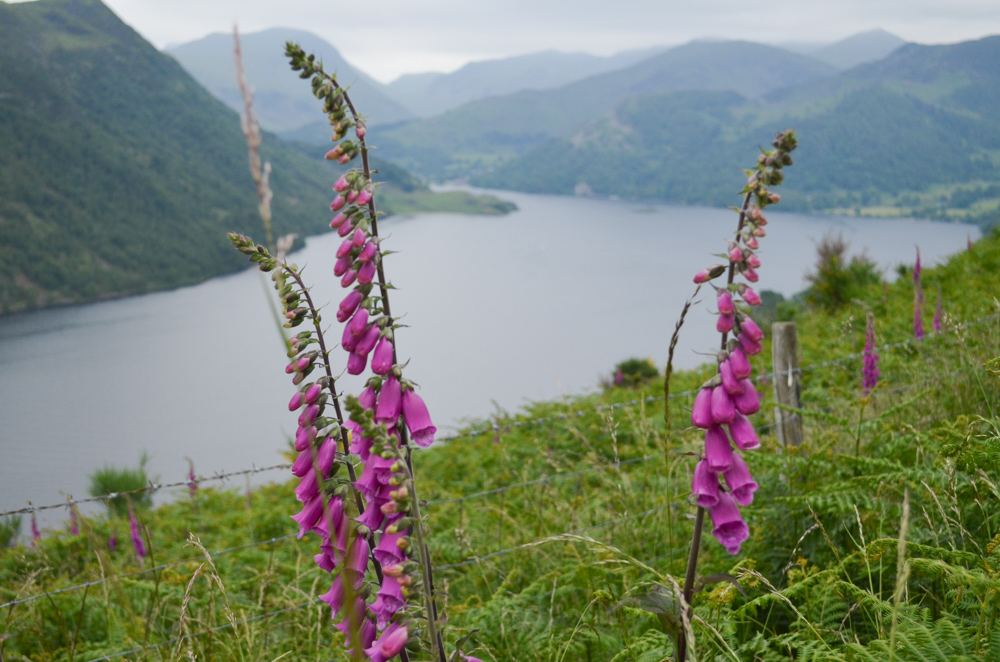
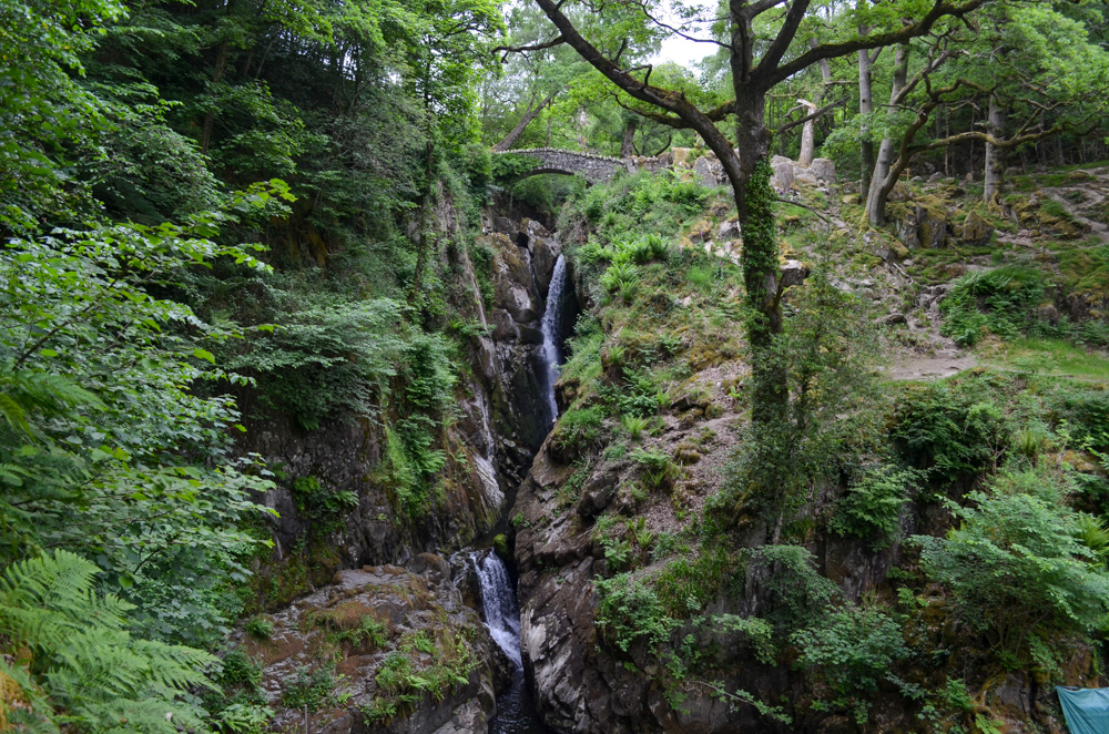
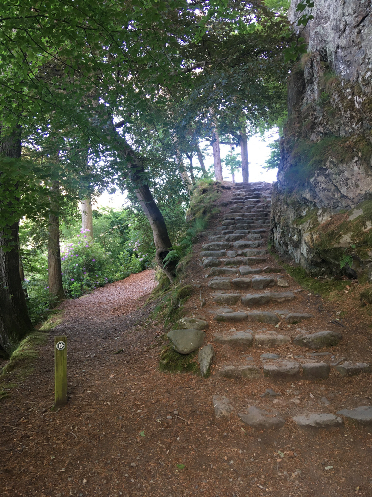
I loved how the foxgloves lined the way like mini soldiers guarding the path. I paused for a quick lunch stop at the highest point before the gradual rocky descent down towards Aira Force, one of the most famous waterfalls in the Lake District.


Stage Two //
Aira Force to Patterdale (5 miles with a 1-mile detour to see Aira Force)
It felt like a sweet relief reaching Aira Force in the late afternoon sunshine. I was eager to dip my tired toes into the cool water stream as I descended off the main path, but the summer midges were now out in full force. Everywhere I paused by the water I was bitten alive!
Taking a detour off the Ullswater Way path, I continued up a steep path up to the main waterfall. The dry weather made for a more chilled waterfall experience, but it was still a welcome break and a moment to pause and reflect before continuing my journey towards Glencoyne Bay.
The sunshine had begun to burst through the trees creating a soft golden summer evening. I quietly rejoiced in the now flatter paths which closely followed the Ullswater shoreline.
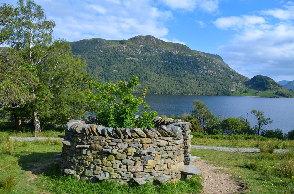
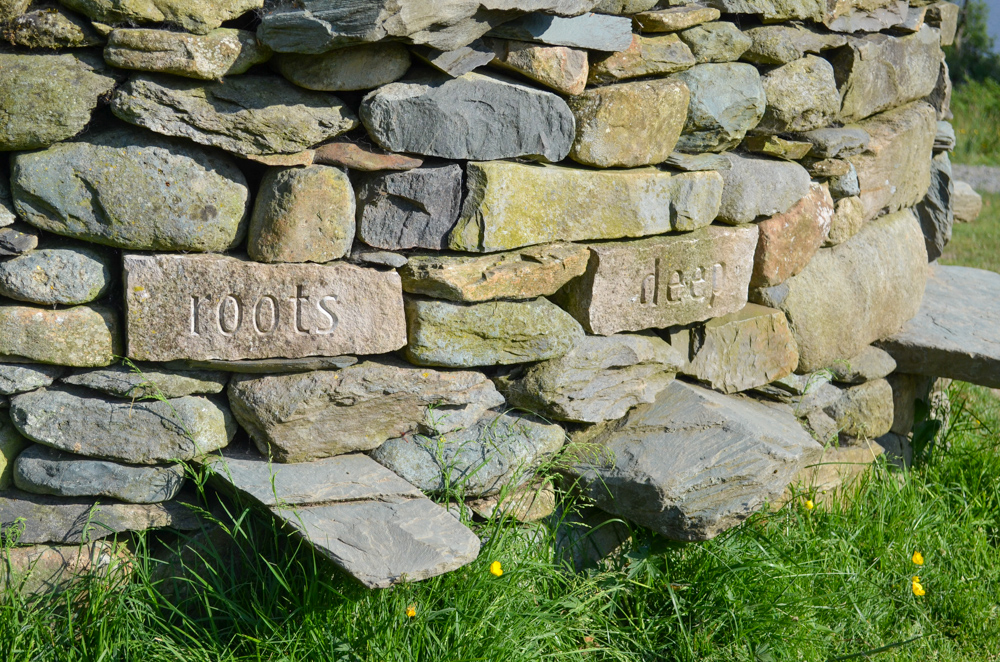
I stopped off at threefold: north – a stone structure encircling an oak tree which forms one part of Rob and Harriet Frasers art installation created in 2017. The tree marks one of 3 tree folds they created across Cumbria (with threefold: centre in Grizedale Forest and threefold: east on Little Asby Common) and the carvings on the stone mark the last verse of a poem written by Harriet.
I take a moment to reflect on how majestic this oak tree will become in later years and how many walkers will pass by during its lifetime.
As the path crosses over to meet the gravel beach of the lake, I can’t resist finally having a paddle. I’m tempted by a swim as I had bought my swimming kit, but my tired body could not find the motivation to unpack and repack my backpack.
The cool water against my aching feet was blissful and I sat and thought about how intimately connected I had begun to feel about Ullswater after spending a day following its shoreline. Not speeding past on a bus or car or boat, but rather taking the time to connect to the area, to notice all the changes and seasonal joy summer bought.
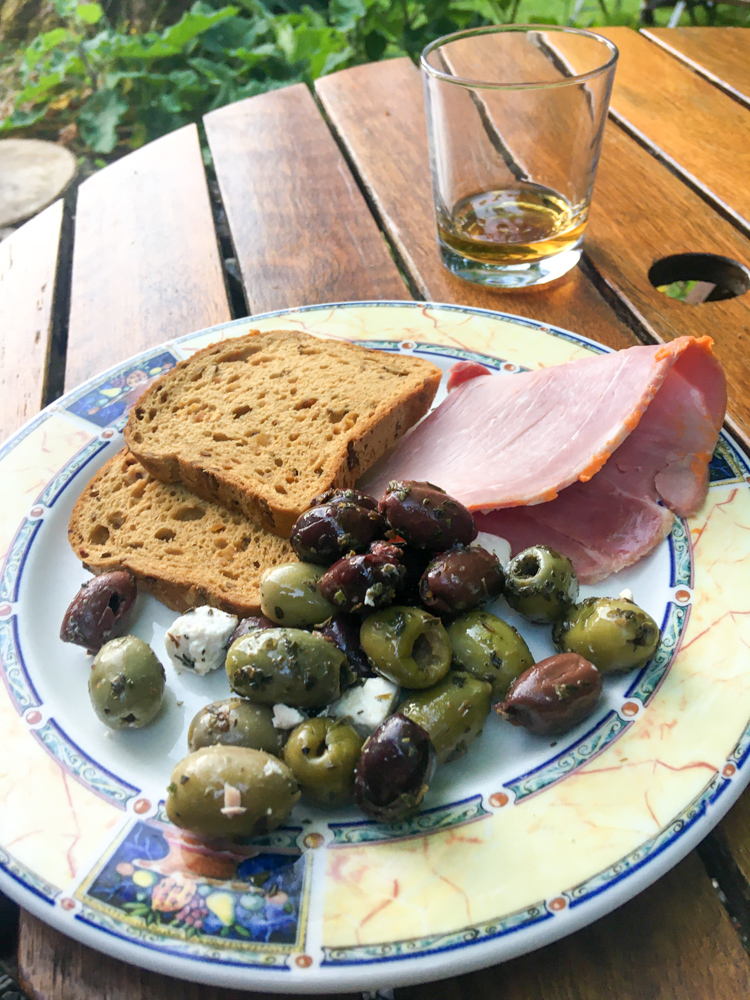
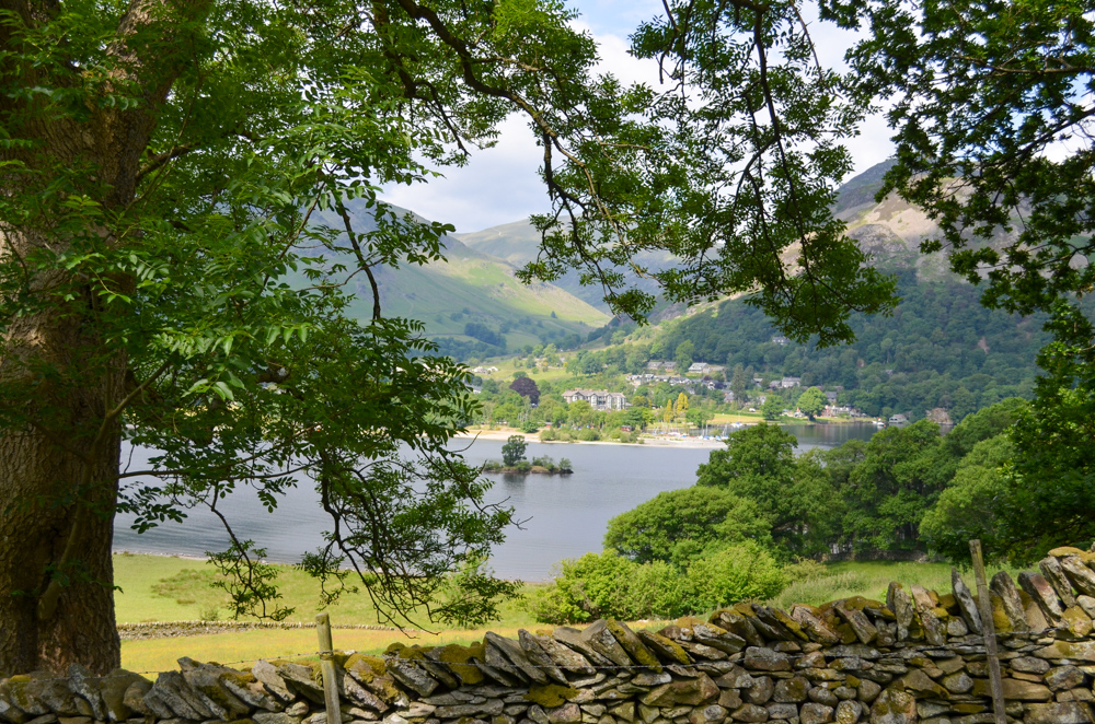
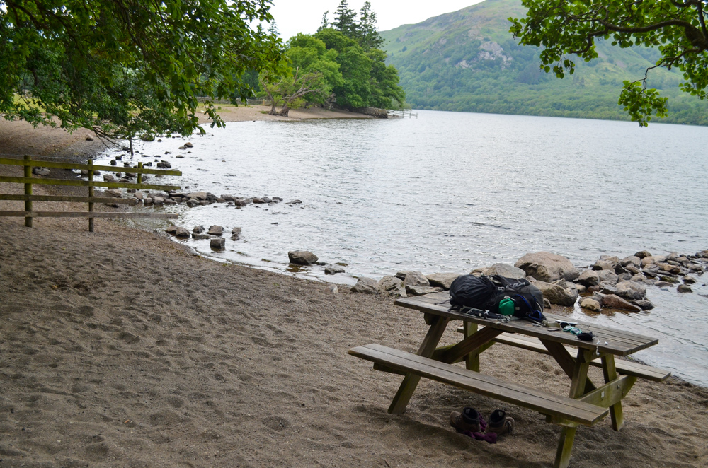
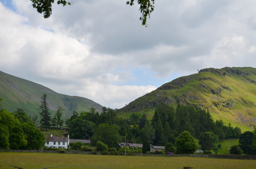
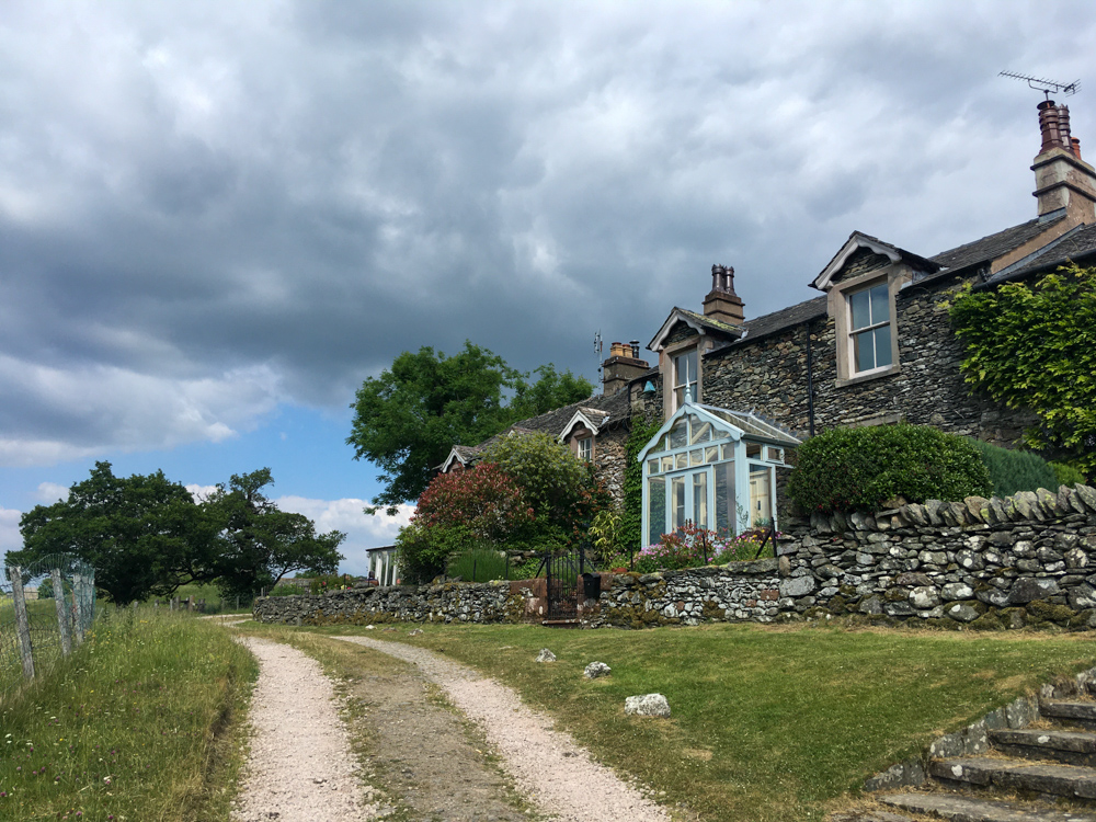
One last painful hike up a series of stone steps and I made it to the small village of Glenridding, well known for being the start point for hikes up to Helvellyn. I’m relieved the general store is still open at 7pm and pop in to get supplies for an easy tea – bread, cold meat, olives before hobbling the last mile to Patterdale where I spent a peaceful night in a tiny shepherds hut.
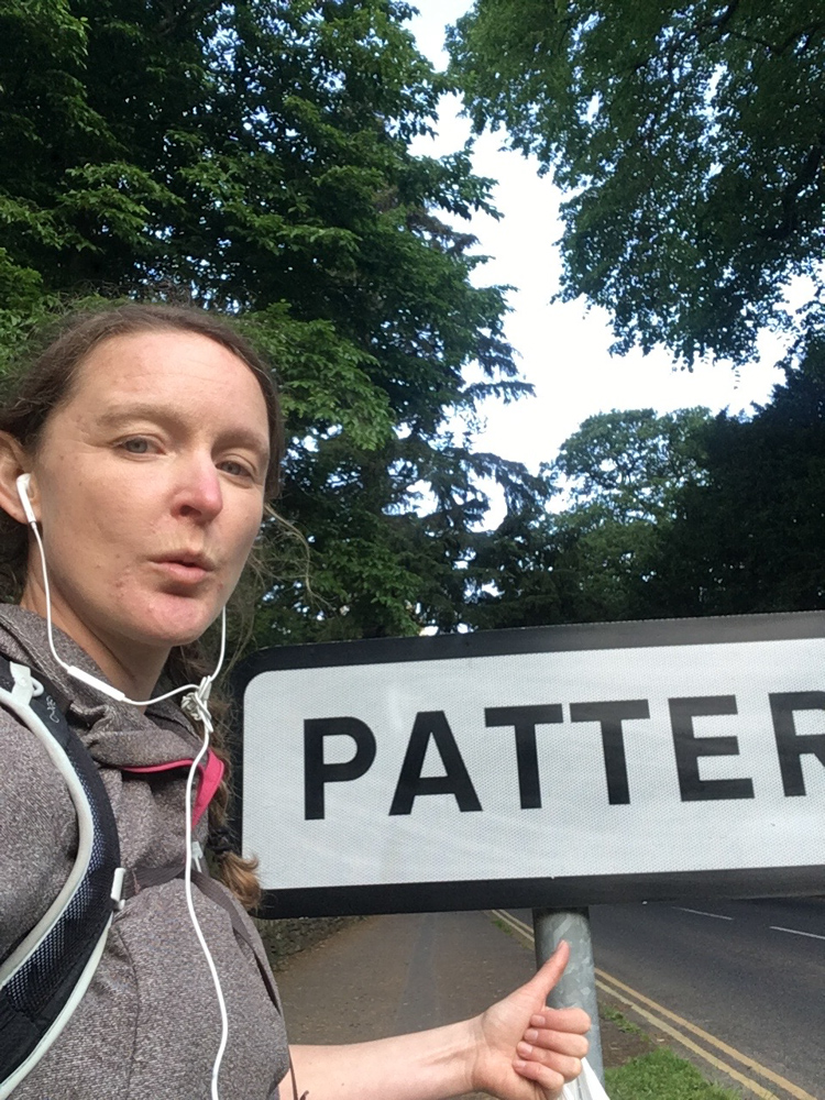
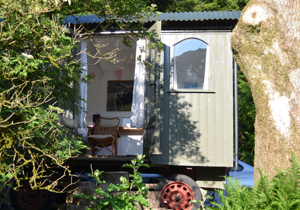
You can read more about my night in the shepherd’s hut here.
Day 2
Stage 3 //
Patterdale to Howtown (7.8 miles)
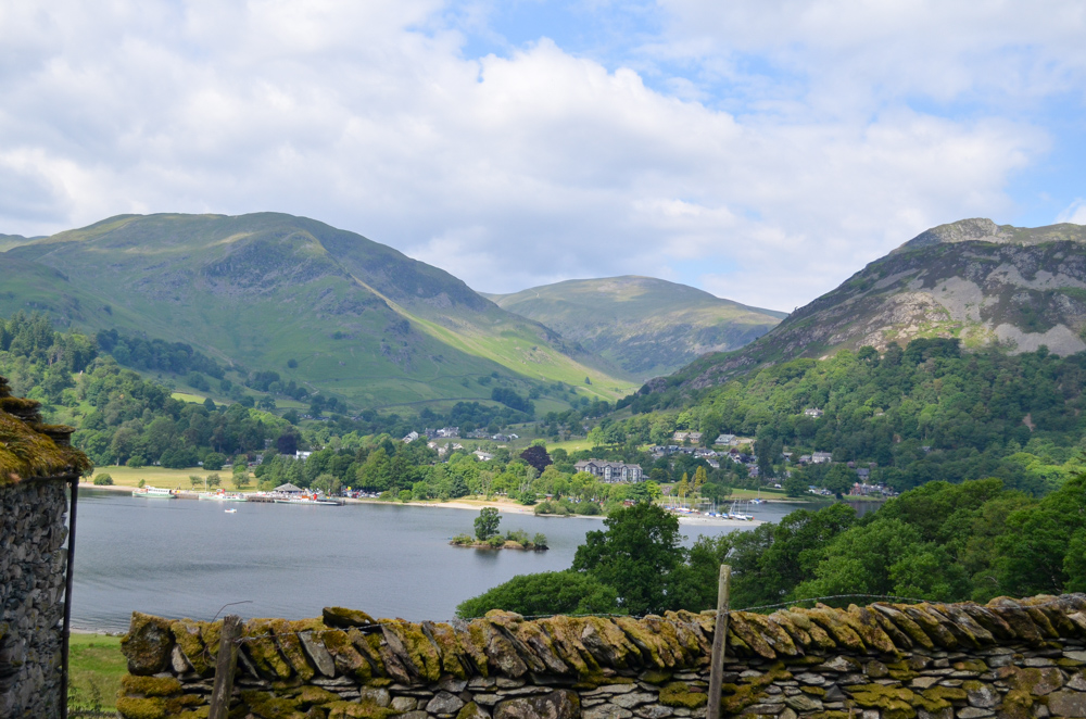
Recharged and ready to go, I backtrack my steps back to Patterdale and take the righthand path towards Side Farm awash with golden buttercups. Behind me, the Helvellyn range looked majestic in the morning light.

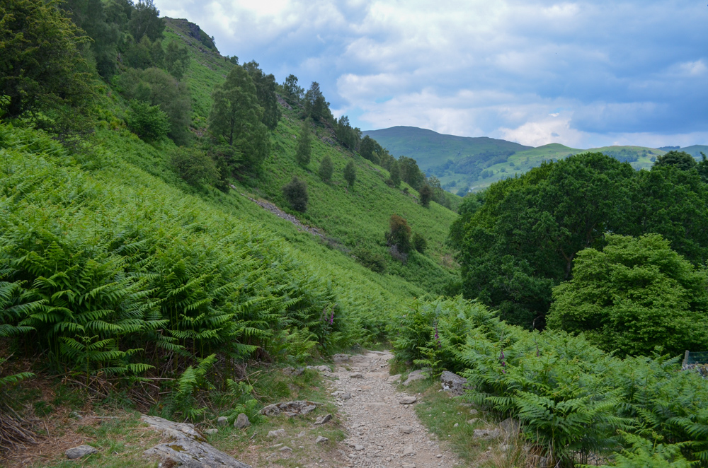
Turning left and heading up through the undulating path, I struggle to find a rhythm, my body tired and blistered after yesterdays 13 miles.
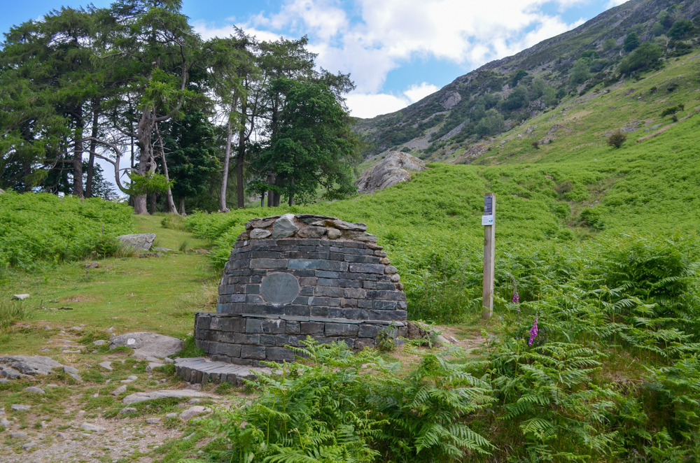
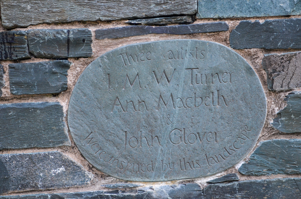
I took a break at the Artists Seat, another art installation part of the Heritage Trail that celebrates the many artists who have been inspired by the Ullswater Valley such as JWM Turner.
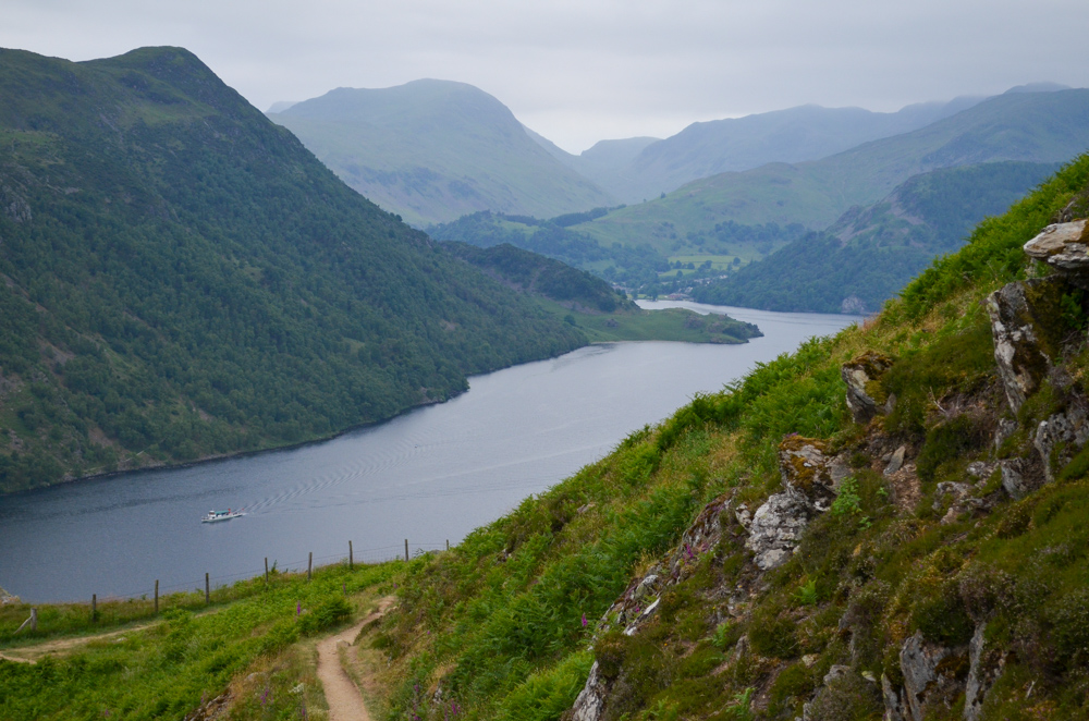
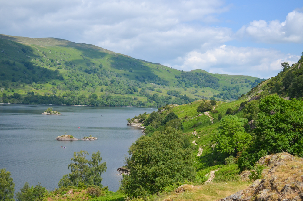
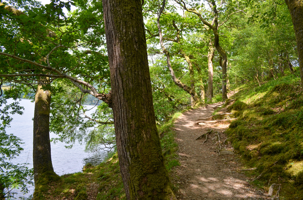
The eastern side had a very different feel to the west. The path hugs the shoreline much more intimately, and the landscape to the left was mainly juniper shrubs and small birch trees, the exposed sections once again guarded by foxgloves.
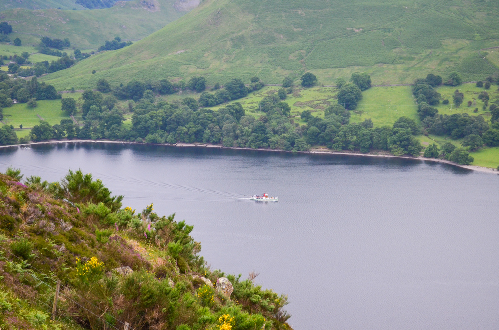
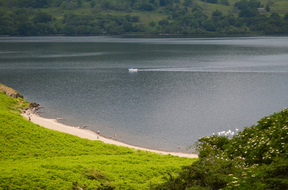
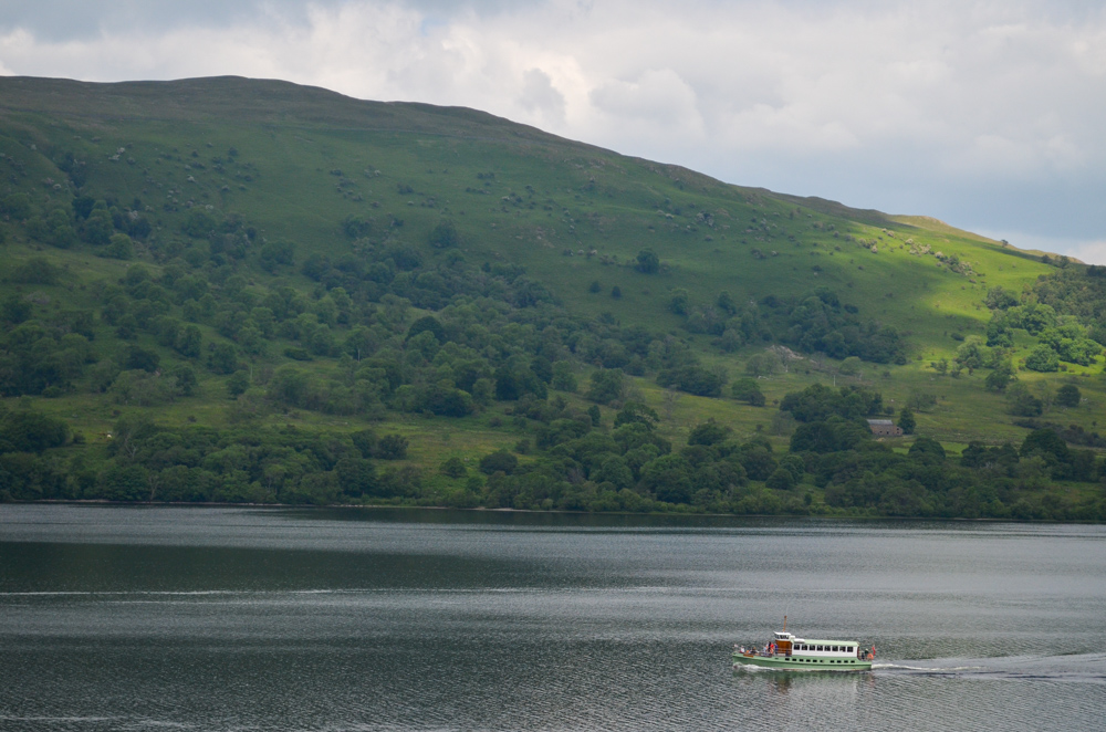
The up and downs felt never-ending during the morning, but whilst pausing for my packed lunch, I watch the Ullswater steamers glide over the lake and remind myself to try and remain in the moment, take in the scenery rather than get frustrated at my pace.
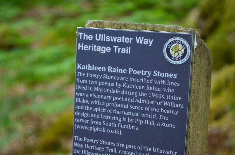
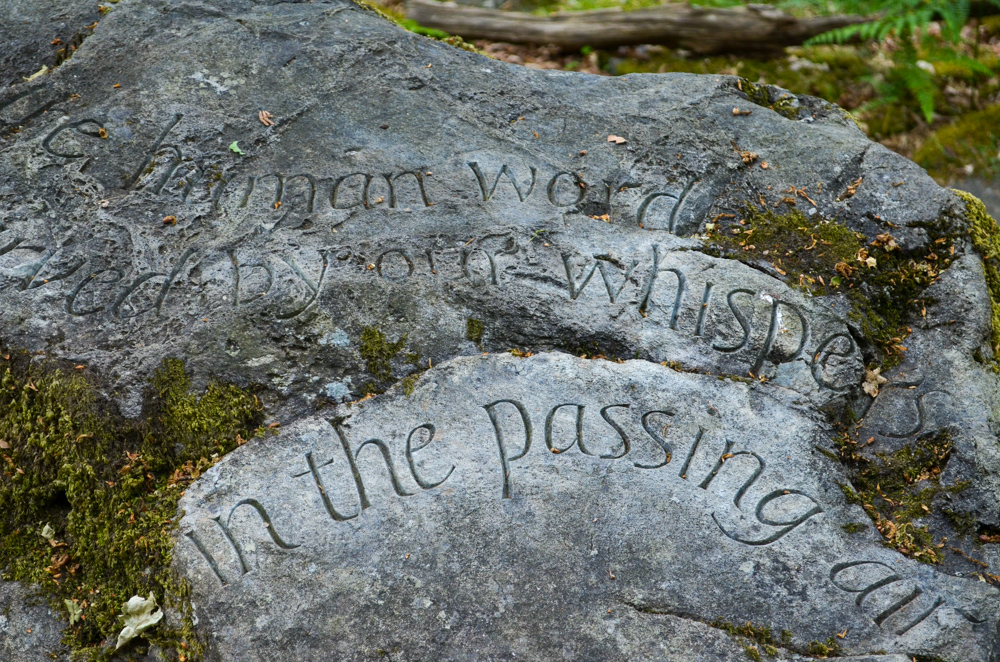
Descending towards Sandwick Bay, I’m delighted to see a picnic bench where I paused again to cool off with a paddle and a refuel before heading back into the trees and picking my way across numerous tree roots. I make a stop off at the Poetry Stones, lines of poetry written by the 1940’s local Kathleen Raine etched in stone and peeking out of the woodland floor.
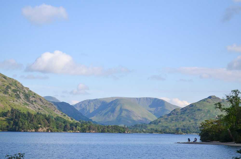
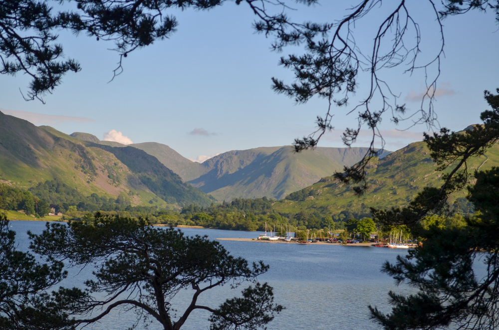
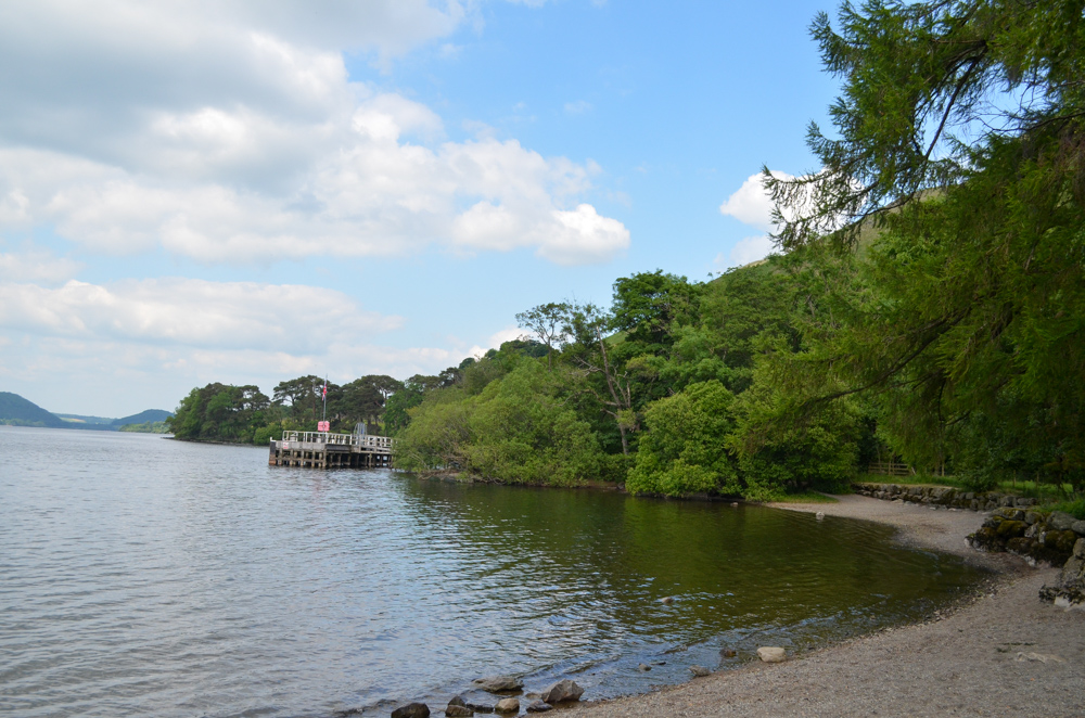
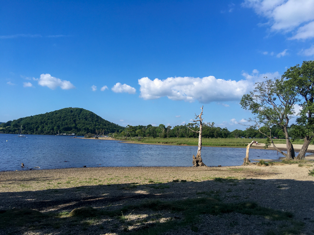
After getting slightly lost in the trees at Kailpot Crag, the path opened out again for sweeping views of Ullswater and Arthurs Pike before meeting the pier at Howtown.
Stage 4 //
Howtown to Pooley Bridge (Lower Path) 4 miles
Buoyed on by reaching the very last stage of the hike, I marched up the small hill towards Swarthbeck, the path rising above the lake and dotted with Herdwick sheep. Upon reaching the hamlet, the path forks with another choice of paths: the Upper, steeper path over towards the Askham Fells or the flatter Lower path which follows the shoreline.
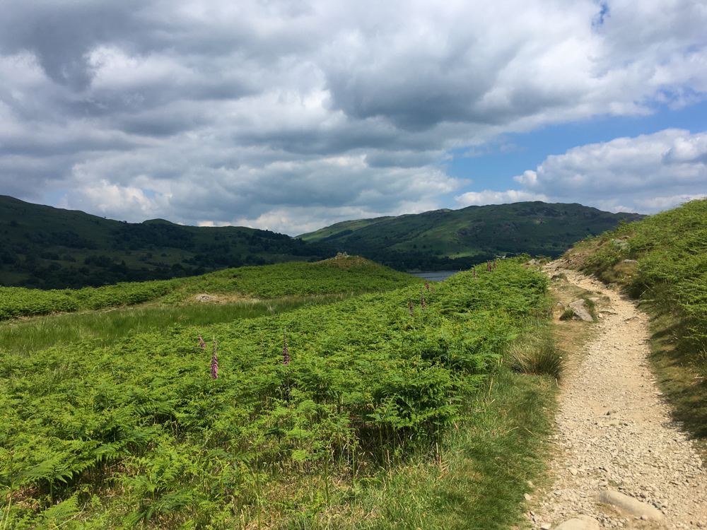
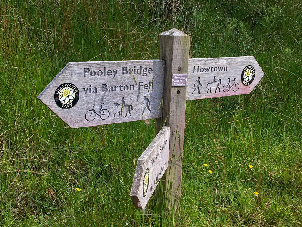
I opted for the Lower Path, aware that I was getting short on time to catch the once every two-hour bus from Pooley Bridge back to Windermere.
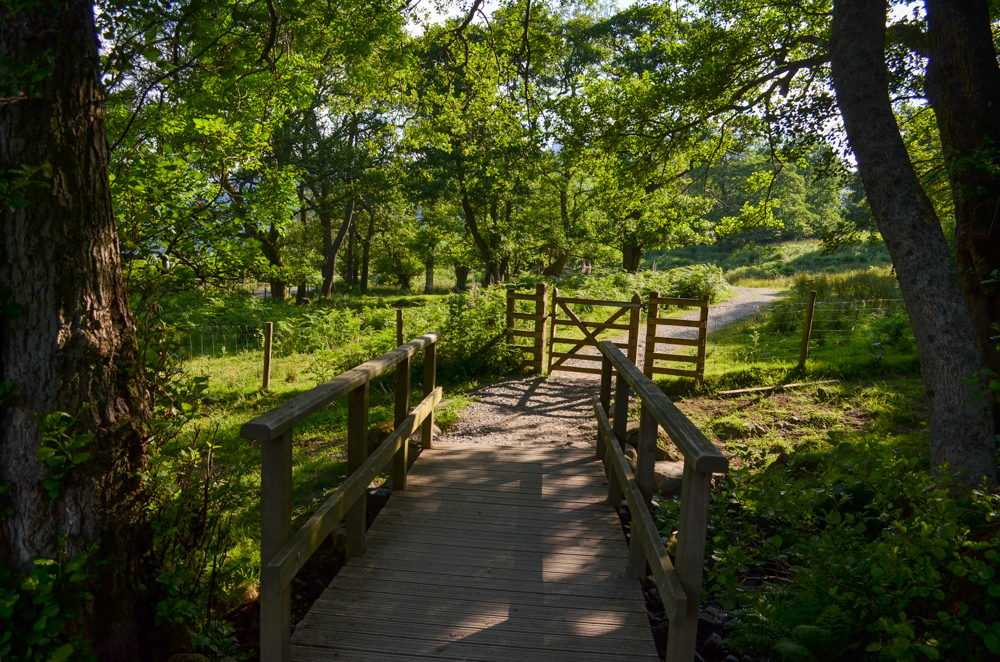
The path was made up of a series of grassy, easy paths until I hit the Waterside Campsite. Running low on food, water and time, I grab a quick snack and joyfully find a free water tap to fill my bottle before breaking out into a jog as the path returned to the lake and across a boardwalk.
I reached the last section of the path that meets the lake with 15 minutes to spare before the bus was due and I let out a whoop of joy, I’d done it! I had solo hiked the Ullswater Way!
I asked a guy to take a picture of me and shared my elation before jogging back up the path to Pooley Bridge, even managing to pick up some snacks before the bus arrived.

As the bus weaved its way back along the route I had taken the previous day, I reflected on how connected I now felt to the area, connected by memory and experience, each place we passed I could remember how I felt and I knew happily that Ullswater had now etched a very special place in my heart.
More posts from my Ullswater Way hike
Everything you need to know about hiking the Ullswater Way
What to pack when hiking the Ullswater Way
My night at a shepherds hut in Patterdale
Join my monthly Letters from the Lake District newsletter
Each month, I share…
✨A mini letter from me with monthly insights into living in the Lake District
✨ Books, podcasts, essays and articles from the Lake District and outdoor community to inspire you
Leave a Reply